Photos of Umpherstons, Little Blue Lake, and Gouldens Hole appear below.
|
|
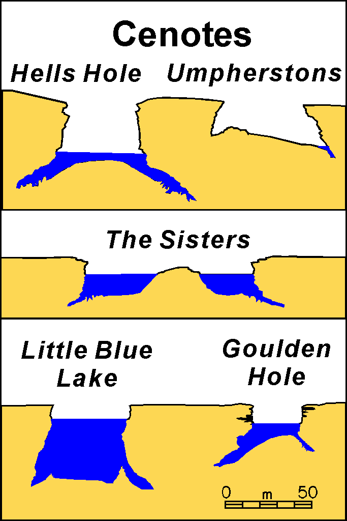
Cross sections of some typical cenotes in the Mt. Gambier region Photos of Umpherstons, Little Blue Lake, and Gouldens Hole appear below. |
|
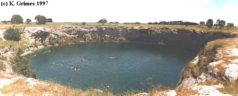
Little Blue Lake - a cenote. Panorama view, Mt Gambier, SA Blue-WA.jpg |
|
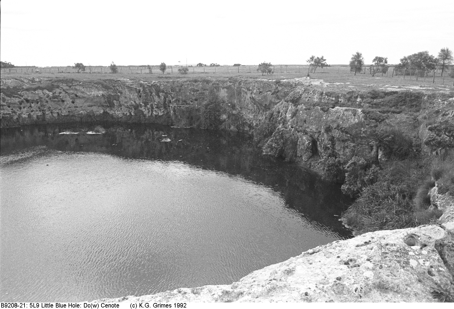
Little Blue Lake - a cenote. 5L-9, Mt Gambier, SA. B9208-21.5L9.Cenote.jpg |
|
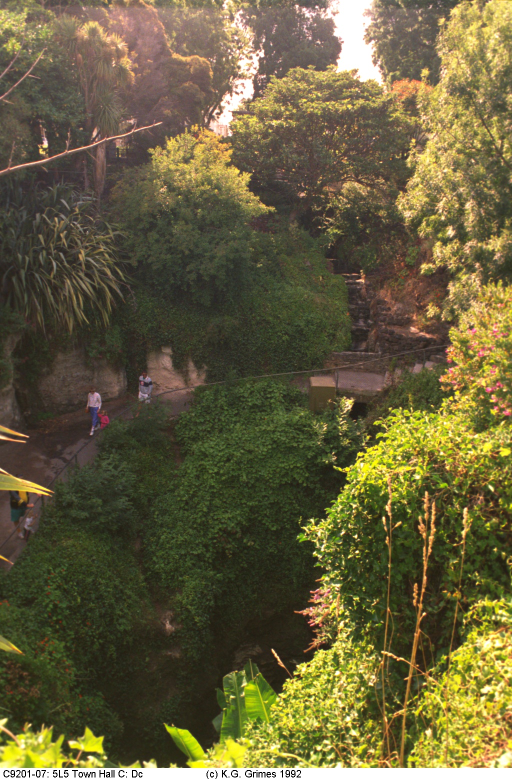
Town Hall sinkhole, in the centre of Mt. Gambier city, SA C9201-07.5L5.Dc.jpg |
|
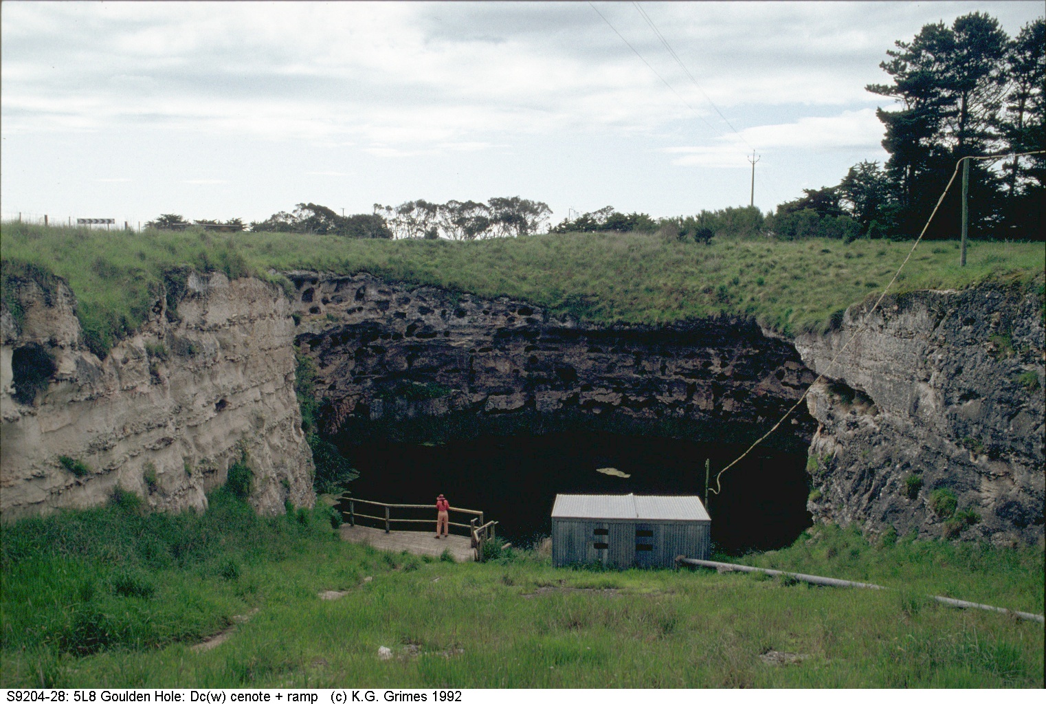
Gouldens Waterhole, Mt. Gambier. The ramp was cut by early settlers to allow their cattle to water. S9204-28.5L8.Cenote.jpg |
|
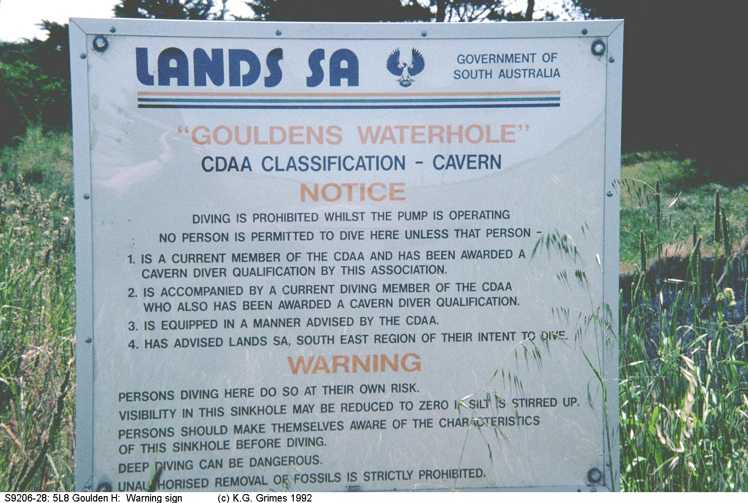
Signpost for Cave Divers at Gouldens Hole S9206-28.5L8.Sign.jpg |
|
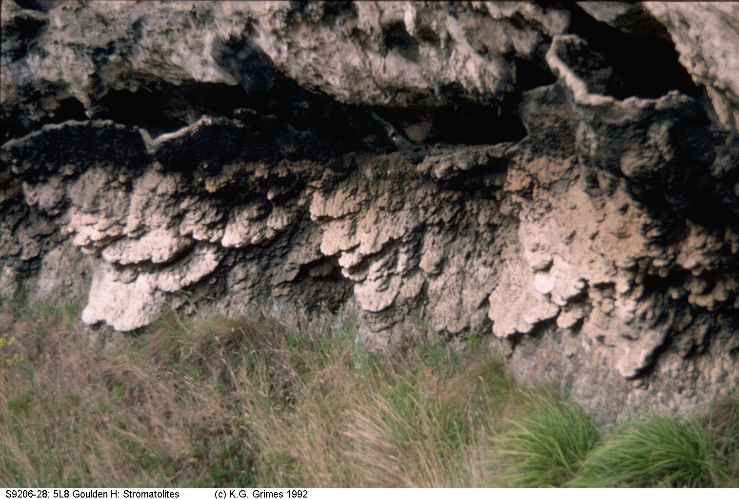
Stromatolites (calcareous algae growths) exposed on the walls of Goulden's Hole. These would have grown when the water table was higher in the past. S9206-28.5L8.Stroms.jpg |
|
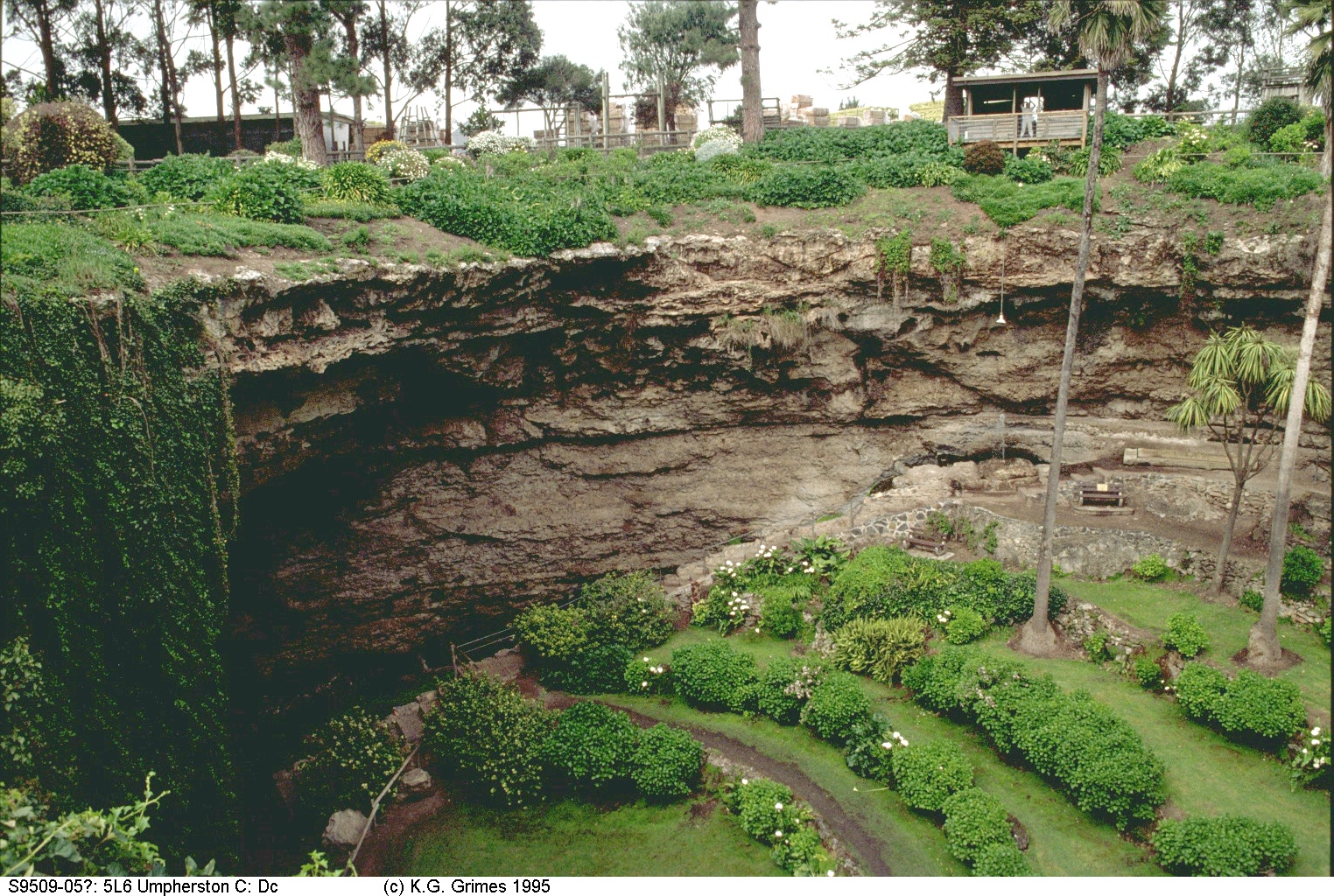
Umpherstons cave - a cenote in the city of Mt. Gambier S9509-05.5L6.Garden.jpg |
|
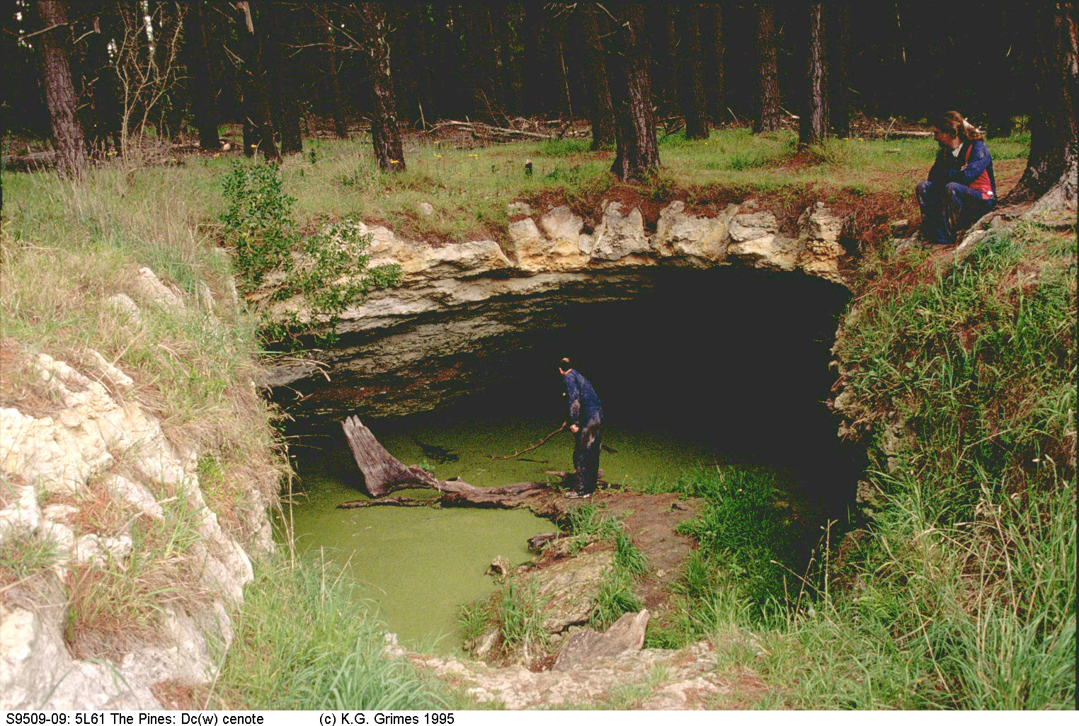
The Pines cenote, 5L-61, Mt Gambier, SA S9509-09.5L61.Cenote.jpg |
|
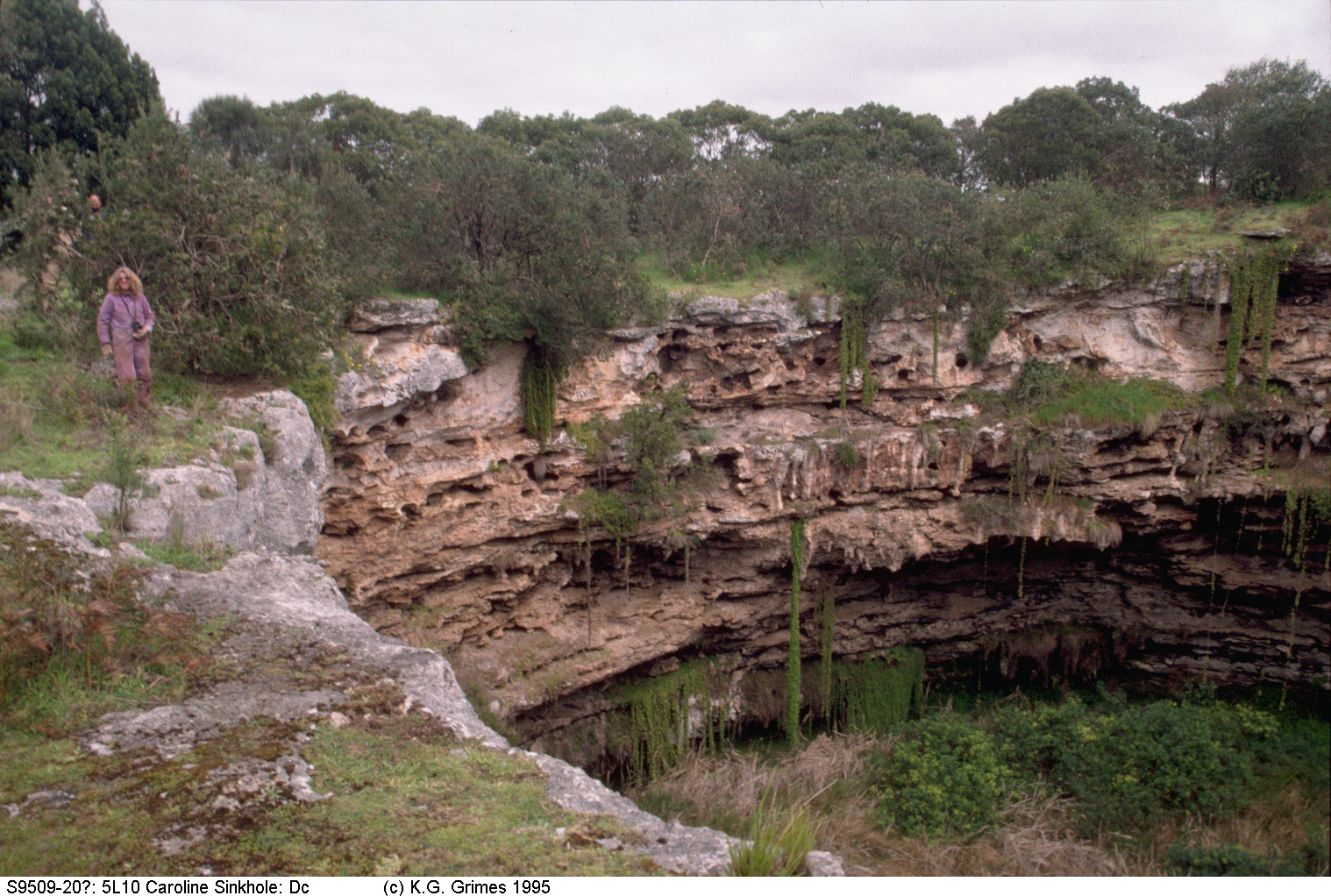
Caroline sinkhole, 5L-10, Mt Gambier area, SA S9509-20.5L10.Dc.jpg |
|
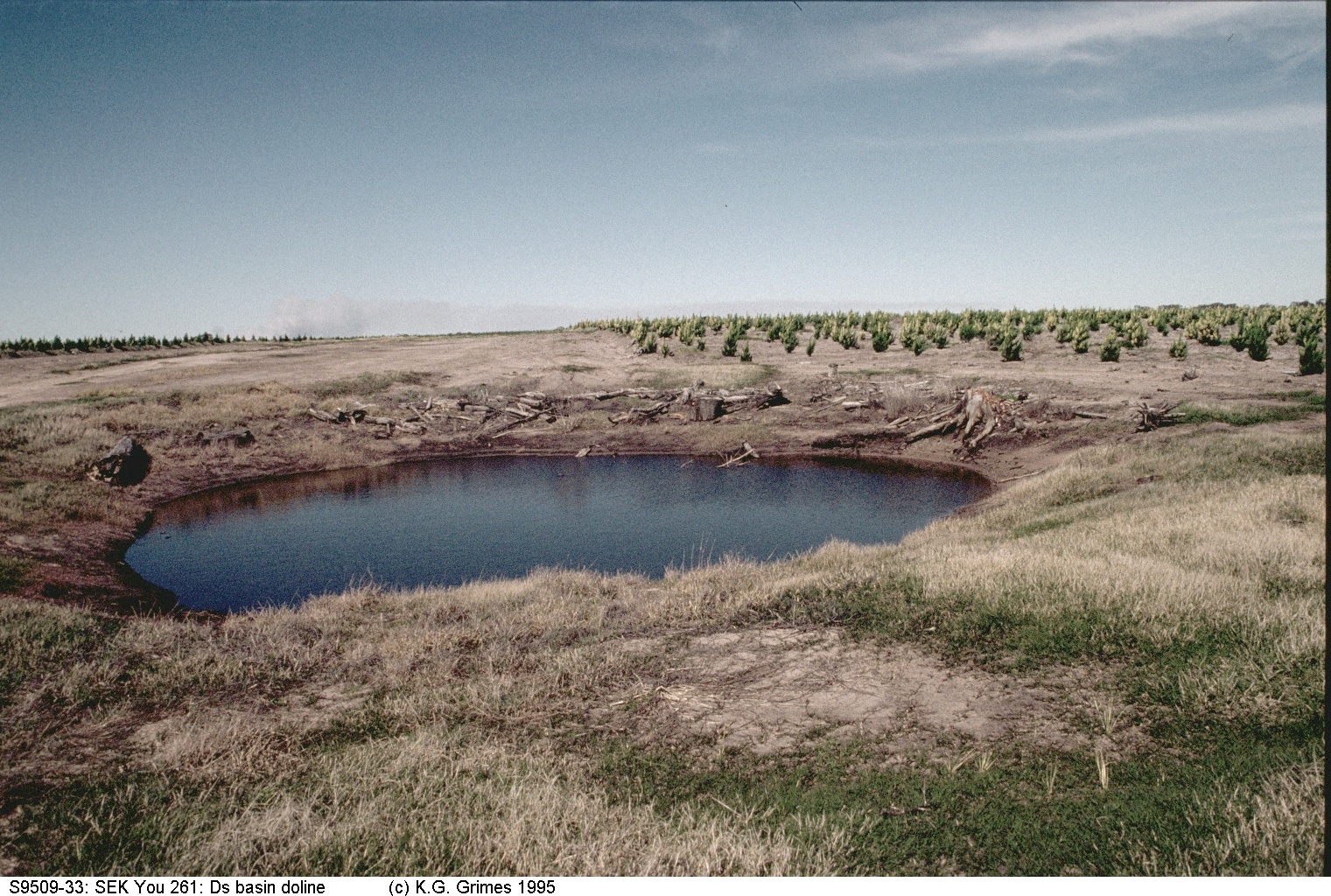
Small water-filled doline in a new plantation of exotic pines. This may be a perched watertable, not the regional watertable. S9509-33.You261.Dc.jpg |