NUMBER : BD‑ 2  BD2 Map from early ISS magazine
CAVE
NAME : EFFLUX
KARST
BLOCK : Main 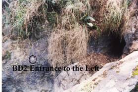
LOCATION OF
CAVE : BELOW BD‑1
CAVE TAG
LOCATION : Right wall of efflux
DATE TAG
PLACED :
TAG
CONFIRMED :8/10/1994
WHEN DISCOVERED :
WHO
DISCOVERED :
LENGTH :
DEPTH :
REFERENCES : ISS Newsletter V2N2 Aug 1979
-pp 2;4;12;13;14;18; 20;21;24;25;26; 27;28;29;35;41;44. Vol 4 No 3
September 1998 p10.
NOTABLE
FEATURES : LOTS EXCAVATION
MAP
REFERENCE 6 FIGURE : 441207
GPS
DATUM: WGS84
GPS EAST GRID : 744232
GPS NORTH GRID : 6020750
BEARING FROM‑TO : BD1=103o/0.285km
LATITUDE S : 35o55' 35"
LONGITUDE E : 149o42'25"
GEAR REQUIRED :
DESCRIPTION : “About 2 tons of rock was removed and we
cleared about 10 feet of passage” ISS journal Vol 4 #3
note: Vol 2#2 p4 uses “Water Cave”
NUMBER : BD‑ 3
BD 3 Surface Map Bermagui
Cavers map of BD3
CAVE NAME : WINDLASS CAVE
 KARST BLOCK : Main
LOCATION OF CAVE : ROCK OUTCROP UP SPUR but south BD 1
CAVE TAG LOCATION : TOP OF SHAFT WEST SIDE OF CAVE
DATE TAG PLACED :8/4/1972
TAG CONFIRMED :23/4/1995
WHEN DISCOVERED : 8th JUNE 1963
WHO DISCOVERED : ISS apart form earlier discoverers
LENGTH :
DEPTH : VERTICAL 210 FT HOLE
REFERENCES
: ISS Newsletter V2#2
Aug 1979p 33;
ISS
Newsletter V# N0 1 dec 1995 p 34
NOTABLE FEATURES : SURROUNDED BY WATTLE TREES
LONGITUDE E : 149o42'09"
GEAR REQUIRED : Equipment needed: SRT with a 10m rope for
the first pitch (or a 10 ladder and belay rope), a 3m handline for a second
pitch and a 3m handline or ladder for the final pitch.
Photography:
excellent in the east-west rift towards the end of the cave.
DESCRIPTION :
Windlass Pit is a 61m deep cave
with a series of pitches. An entrance pitch of 38m is divided by small ledges
into drops of 15, 16 and 6m respectively, followed by two successive pitches of
3.5 m each lead into a small room. From this room a hole in the wall leads to a
4m chimney and on through a narrow fissure to a final drop of 4m to a small
chamber with a silt covered floor. narrow fissures lead from this level but are
too small to be entered.
This was reconfirmed by NEWCAVES
on October 1st 1995.
“On the return trip we fixed an orange ISS
arrow to the base of a bench below BD-3 to direct future walkers upwards. Near
the corner of the track as it heads downhill to cross the creek to go BD-1 is a
slightly blackened three trunked tree (GPS reference WGS 94 55H 744212
6020710 with an ISS arrow pointing to
the BD-3 Bluff. This is a line of sight and this tree can be found by walking
36m on a bearing of 195N from the corner of the track as it heads downhill to cross the creek to
go BD-1.” ISS newsletter V3#1p34
NUMBER : BD‑ 4
BD4 Map 1 Plan BD4
Map 2 Profile
CAVE
NAME : TRICKETT'S WATER
CAVE
KARST
BLOCK : Flagpole Flat
LOCATION OF
CAVE : BEFORE FLAGPOLE FLAT AREA
approx 100m West of BD-5
CAVE TAG
LOCATION : YELLOW PAINT ON RIGHT
WALL
DATE TAG
PLACED : painted and tagged Easter Saturday 1969
TAG
CONFIRMED : 8/71/1994
WHEN
DISCOVERED : refound EASTER
1964
WHO
DISCOVERED :
LENGTH :
DEPTH :
REFERENCES : ISS Newsletter V2N2 Aug
1979pp 3;8;16;20: vol.2 no 6 p 14; ISS Newsletter Vol 3 no 1 Dec 1995 p
19
NOTABLE
FEATURES : WATER SUMP
GEAR
REQUIRED : HELMETS AND LIGHTS
DESCRIPTION :
One is a cavern sloping at about
45odown for 50 feet (15m) and ends in a pool of water.
From SSS Journal Stop Press July 1969
page 117-122 by Peter Shiell
divers from the South Pacific Divers club
joined SSS for a dive on BD-4 16th June 1969
“The water was still and perfectly clear and we
were hopeful of a successful dive with good results. This was, unhappily, not
to be as Dick went down well but Jack managed to enter the water minus his
weight belt. This caused him to float along the surface kicking and this
stirred up the dirt that was lying on the bottom and caused the water to become
murky. As the water was not clear by this stage both divers came up without
attempting to push on any further. Bob and Peter Newton then entered the murk
and followed the walls down by touch till they reached the bottom and the
rockfall, again not trying to push on any further. Bob also tried to get
through a passage that leads off to the left. He reported that after passing
through an areas of loose rock he came our into a small air filled chamber from
which he could see a passage heading off sloping upwards. It is hoped that this
is one of the ways that the water enters the cave and that this may be one of
the main passages.”
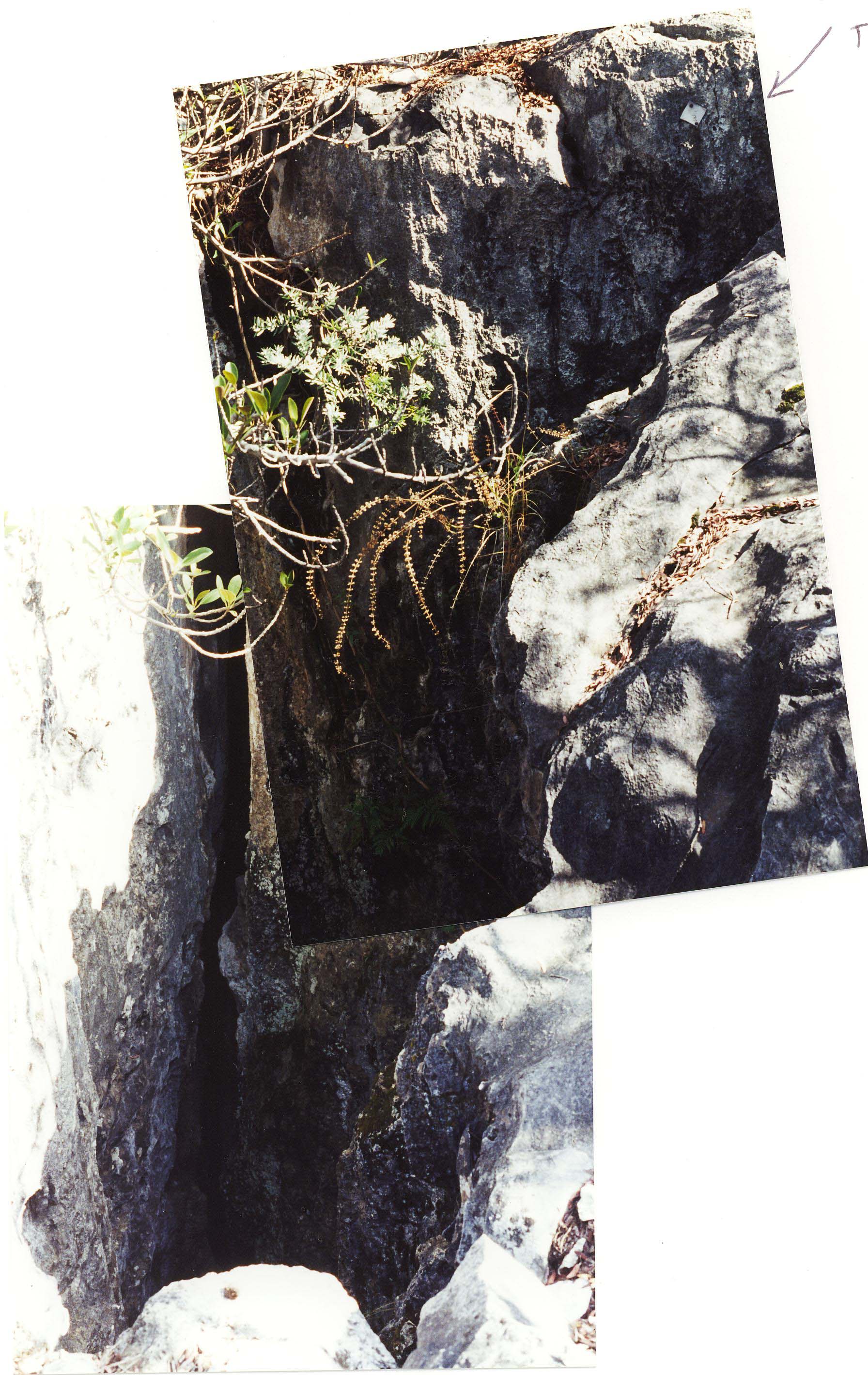
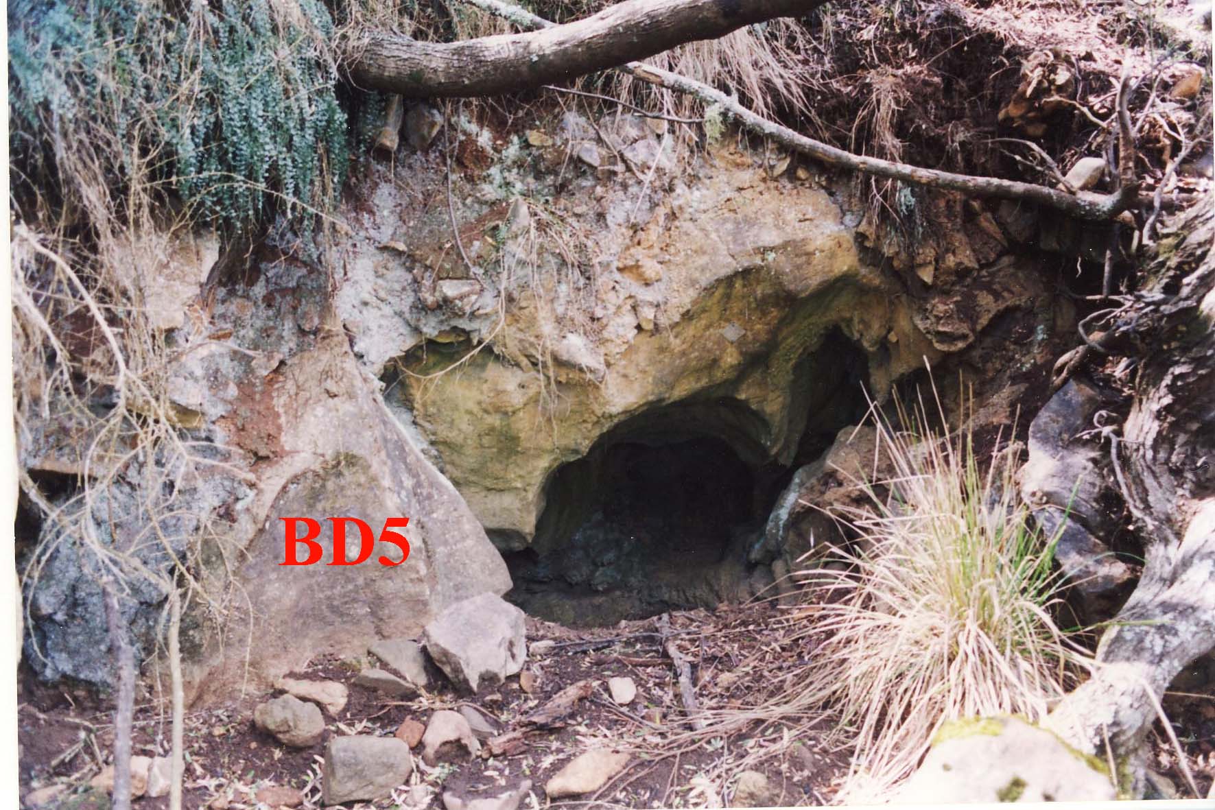
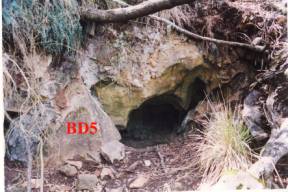
NUMBER : BD‑ 5
BD5 Map
CAVE NAME : UNNAMED
KARST BLOCK : Flagpole Flat
LOCATION OF CAVE : DOWNSTREAM OF BD‑4, at creek level
CAVE TAG LOCATION : ABOVE ENTRANCE
DATE TAG PLACED : 13/8/1972
TAG CONFIRMED :8/10/1994
WHEN DISCOVERED :
WHO DISCOVERED :
LENGTH : 2m
DEPTH :
REFERENCES : ISS Newsletter, Vol 2 #2 August 1979,pp 16;39;
ISS
Newsletter, Vol 2 #6 July 1994 p11
NOTABLE FEATURES :
MAP REFERENCE 6 FIGURE : 453200
GEAR REQUIRED :
DESCRIPTION :
Entrance possibly filled with silt
“ a very small cave, 1.5m wide, 1 m high and 2
m long, but may be a possible dig”
p 11 ISS newsletter, Vol 2 #6 July 1994
 NUMBER : BD‑ 6 BD6
Map
NUMBER : BD‑ 6 BD6
Map
CAVE
NAME : River Cave
KARST
BLOCK : Flagpole Flat
LOCATION OF
CAVE : 20M DOWNSTREAM BD‑5
on Con Creek
CAVE TAG
LOCATION : I M ABOVE WATER LEVEL
DATE TAG
PLACED : 13/8/1972
TAG
CONFIRMED :8/10/1994
WHEN
DISCOVERED :
WHO
DISCOVERED :
LENGTH : approx 40m
DEPTH :
REFERENCES : ISS Newsletter, Vol 2 #2
August 1979 PAGE 39
ISS newsletter,
Vol 2 #6 July 1994 p11;SSS
STOP
PRESS March 1965 p5;
ISS Newsletter
Vol 6 #4 December 2000,p8
NOTABLE
FEATURES : EFFLUX continual stream of water
GEAR REQUIRED :
DESCRIPTION :
large efflux on Con Creek with a sizable
outflow
From SSS STOP PRESS March 1965 p5 by
Ross Ellis
A cave on the Con Creek, in
the narrow Eastern arm of the limestone was entered for about 120 feet. The
stream through this cave is well over 6 ft deep and the passages are only 3 to
5 ft wide by the same in height. Further exploration was stopped by the roof of
the cave being only 2 inches above water level. An attempt at removing the
material from the cave entrance succeeded on lowering water level 3 inches, but
only at the entrance, not further into the cave.
From Captial Territoty Caving
Group newsletter 16/5/1978 p 3
An untagged
stream passage near BD4. The entrance to this is about 5 feet above a dry
section of Con Creek. A squeeze leads into a short narrowing tunnel off which a
cute drops 10 feet to a meandering
stream passage about 2 feet wide, 10-20 feet high and with 2-3 feet of water.
This passage ends in about an 8 feet deep pool of water.
“a small person sized hole
leading down and right. A quick look
from Geoff McDonell (SSS) and no go, a valiant effort. Kerry Sanders decided that a head and
shoulders approach was needed. A blade
separated a small squeeze from a very, very, small squeeze. Head down and toes
up again went Geoff, a flick to the right and he was through. All he had was a mini Mag light of dubious
parentage. "I shall return" called Geoff and sure enough he did. After 5 minutes or so he appeared. He found
that the squeeze opened up to a 'river' passage of about a metre wide and
nearly 2 metres high with water to about knee level. With a mini Mag light of dubious parentage about 20 metres was
sufficient for Geoff.”
ISS NewsletterVol 6 #4 December 2000,p8
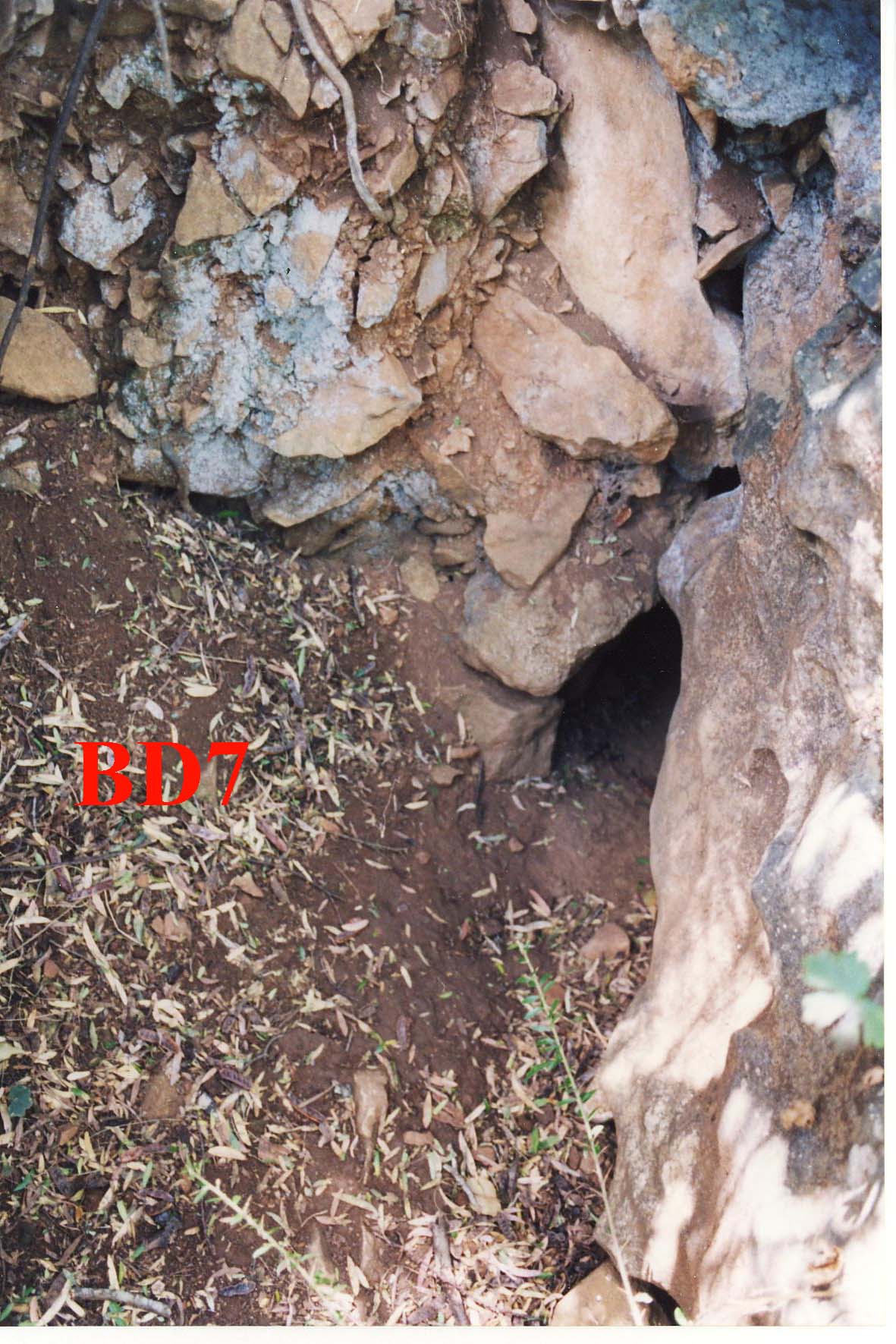
NUMBER : BD‑ 7
BD7 Map
CAVE NAME : UNNAMED
KARST BLOCK : Flagpole Flat
LOCATION OF CAVE : 10M DOWNSTREAM OF BD‑6
CAVE TAG LOCATION : LEFT HAND WALL
DATE TAG PLACED : 13/8/1972
TAG CONFIRMED : 8/10/1994
WHEN DISCOVERED :
WHO DISCOVERED :
LENGTH :
DEPTH :
REFERENCES : ISS Newsletter, Vol 2 #2 August 1979,p 39: ISS
V3#1Dec 1995 p19
NOTABLE FEATURES : U‑SHAPED small unnegotiable ENTRANCE
GEAR REQUIRED :
DESCRIPTION :
One medium size rock will need careful removal
before entry can be gained. The cave seems significant by Bendethera standards,
but the political implications may need investigating.” ISS Newsletter
December 1995 p19
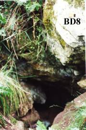
NUMBER : BD‑ 8
BD8 Map
CAVE
NAME : SMALL UNNAMED CAVE
KARST
BLOCK : Flagpole Flat
LOCATION OF
CAVE : 5OM WEST OF BD‑4
CAVE TAG
LOCATION : Orange Aluminium tag
ABOVE ENTRANCE
DATE TAG
PLACED : 9/10/1994
TAG
CONFIRMED :9/10/1994
WHEN
DISCOVERED :
WHO
DISCOVERED :
LENGTH :
DEPTH : 4m
REFERENCES :ISS Newsletter, Vol 3#1
December 1995pp 2022
NOTABLE
FEATURES : ORANGE TAG
GEAR
REQUIRED :
DESCRIPTION :
Is now BD 8
and even if it wasn't, was now. Tagged
it with an orange tag. Graham and
Leanne did a grade 1 survey of BD 8. Is
just a hole about 4 m deep with side passages etc.” ISS Newsletter December 1995 p22
NUMBER : BD‑ 9
BD9 Map Plan BD9 Profile
CAVE
NAME : SNAKE CAVE
KARST
BLOCK : Flagpole Flat
LOCATION OF
CAVE : EAST SIDE OF KNOLL ABOVE
BD‑4
CAVE TAG
LOCATION : WEST SIDE NORTH END of
fissure
DATE TAG
PLACED :
TAG
CONFIRMED : 2nd October 1995
WHEN
DISCOVERED :
WHO
DISCOVERED :
LENGTH :
DEPTH : 30M
REFERENCES : ISS Newsletter, Vol 3, no1
pp 36-37; Bermagui Caver Vol 3#2pp5,6 and
Vol 3#1
NOTABLE
FEATURES : DESCENDS IN A SERIES
OF 4 PITCHES
GEAR REQUIRED : Equipment needed: SRT with a 10m rope for
the first pitch (or a 10 ladder and belay rope), a 3m handline for a second
pitch and a 3m handline or ladder for the final pitch.
Photography: excellent in the
east-west rift towards the end of the cave.
DESCRIPTION :
This is a cave following a
north-south rift on the side of the knoll upstream from BD-4. the entrance is
via a narrow opening descending 5 m to a ledge. The cave then descends and
twists around and under itself requiring two more handlines to assist in the
descent and ascent. At the bottom of the last handline assist is a passage that
runs perpendicular to the main cave direction.
This goes for 20m and is another
fault or rift with a false floor as holes can be seen to descend. In this
section of the cave is a bat colony with a lot of guano on the floor and is
extremely well decorated and active. (As good as some tourist caves at
Yarrongabilly Caves). The two draw backs are the small entrance to this section
and the choking air when nearing the bat colony. At this point the floor
ascends for several meters but is too small to enter as the formations will be
damaged.
At the bottom of the main chamber
a series of shawls on the wall greet the visitor. A small fissure goes nowhere.
NUMBER : BD‑10
BD10 Map BD 10 Surface Plot
CAVE
NAME : The Terraces
KARST
BLOCK : Flagpole Flat
LOCATION OF
CAVE : above BD8
CAVE TAG
LOCATION : on northern wall of
top rift terrace
DATE TAG
PLACED :28/4/1996
TAG
CONFIRMED :
WHEN
DISCOVERED : 1995/6
WHO
DISCOVERED : Newcaves/ISS
LENGTH :
DEPTH :
REFERENCES :ISS Newsletter, Vol 3#3 June
1996
NOTABLE
FEATURES : rift cave on terraces
GEAR REQUIRED :
DESCRIPTION :
We found at least 20 holes in the BD-10 area,
almost missed another big hole now tagged BDX-11 and placed several blue tags
in the area that are worthy of investigation in the future. Kevin and Gerrard
surveyed the cave tagged BD-10 whilst Ron and I did a rough surface survey.
ISS Newsletter, Vol 3#3 June 1996
We descended BD-10 and found that it was only
negotiable as far as the previous survey indicated. A very short cave may push
it a bit further as the cave follows a distinct fissure.
NUMBER : BD‑11
CAVE
NAME : BAT CAVE
KARST
BLOCK : Main
LOCATION OF
CAVE :
CAVE TAG
LOCATION :
DATE TAG
PLACED :
TAG
CONFIRMED :
WHEN
DISCOVERED :
WHO
DISCOVERED :
LENGTH :
DEPTH : APPROX. 20M
REFERENCES :
NOTABLE
FEATURES : GUANO DEPOSITS
DESCRIPTION :
NUMBER : BD‑12 BD12
Map
CAVE
NAME : TINEE TINY FOSSIL
CAVE
KARST
BLOCK : Main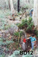
LOCATION OF
CAVE : BEHIND RIDGE OF BD‑13,
W or NW of BDX-6
CAVE TAG
LOCATION : NORTH SIDE OF SOUTHERN
ROCK(Sthn edge of doline)
DATE TAG
PLACED : 23/4/1995
TAG
CONFIRMED :
WHEN
DISCOVERED :
WHO
DISCOVERED : Gerrard Collins
and Bob Kershaw
LENGTH :
DEPTH : 11m
REFERENCES : ISS Newsletter Vol 3#3 June
1996 p12;Vol 3#1 December 1995 p34
NOTABLE
FEATURES : MULTIPLE POTHOLE
ENTRANCE DOLINE
GEAR
REQUIRED :
DESCRIPTION :
“extensive
doline system that we tagged BD-12. It is an extended series of potholes entrances
around a central doline. The total area is probably 100m in diameter with the
Central doline being 3m deep and 5 m across. This definitely requires further
investigation. We also discovered a large area of fossils around the central
doline. This doline is not in the central area of wattle. You break out of the
wattle and into a watercourse/depression in a sclerophyll forest.” ISS Newsletter
Vol 3#1 December 1995 p34
We returned
to the hole below the BD-12 tag and removed more rubbish and I squeeeezed into
a small hole in hope, but alas it it was only wide enough for water to continue
on its downward journey. “ ISS Newsletter Vol 3#3 June 1996 p12
NUMBER : BD‑13
BD13 Map
CAVE NAME : UNNAMED
KARST
BLOCK : Main
LOCATION OF
CAVE : 50m west of BD‑3
CAVE TAG
LOCATION : steel tag south side
of wall
DATE TAG
PLACED :8/4/1972
TAG
CONFIRMED :25/9/1994
WHEN
DISCOVERED :
WHO
DISCOVERED :
LENGTH : 3.5M
DEPTH : 3.5M
REFERENCES : ISS Newsletter Vol 2#2
August 1979 p33;
ISS Newsletter
Vol 3#1 Dec 1995 p36
NOTABLE
FEATURES : triangular entrance
GEAR
REQUIRED :
DESCRIPTION :
“They
(NHSS) found BD-13 and did a quick survey for us and we have to add moonmilk to
the end of our survey”
ISS Newsletter
Vol 3#1 Dec 1995 p36
NUMBER : BD‑14 BD
14 Map
CAVE
NAME : FIGTREE
KARST
BLOCK : Krawarree
LOCATION OF
CAVE : ENTRANCE COVERED BY TREE
ROOTS
CAVE TAG
LOCATION : INSIDE ON THE LHS
DATE TAG
PLACED : 5/5/1973
TAG
CONFIRMED : 25/9/1994 by NUCC
WHEN
DISCOVERED : 8/6/1963
WHO
DISCOVERED : ISS
LENGTH : 37m
DEPTH : 9m
REFERENCES : ISS Newsletter Vol 2#2
August 1979 pp 6, 42
ISS Newsletter
Vol 4#3p9
NOTABLE
FEATURES : DRY, DUSTY,
INEXTENSIVE, VERTICAL; TREE ROOT MARKED
GEAR
REQUIRED :
DESCRIPTION :
Of the other caves in the area
the Fig Tree Cave is confined to a small cavern about 50 feet (15m) in
diameter.
NUMBER : BD‑15
CAVE
NAME : UNNAMED CAVE
KARST
BLOCK : Krawarree
LOCATION OF
CAVE : NEAR BD‑14
CAVE TAG
LOCATION :
DATE TAG
PLACED :
TAG
CONFIRMED :
WHEN
DISCOVERED :
WHO
DISCOVERED :
LENGTH :
DEPTH :
REFERENCES :
NOTABLE
FEATURES :
DESCRIPTION :
NUMBER : BD‑16
CAVE
NAME : UNNAMED CAVE
KARST
BLOCK : Krawarree
LOCATION OF
CAVE : NEAR BD‑14
CAVE TAG
LOCATION :
DATE TAG
PLACED :
TAG
CONFIRMED :
WHEN
DISCOVERED :
WHO
DISCOVERED :
LENGTH :
DEPTH :
REFERENCES :
NOTABLE
FEATURES :
DESCRIPTION :
NUMBER : BD‑17
CAVE NAME : SMALL UNNAMED CAVE
KARST
BLOCK : Krawarree
LOCATION OF
CAVE : NEAR BD‑14
CAVE TAG
LOCATION :
DATE TAG
PLACED :
TAG
CONFIRMED :
WHEN
DISCOVERED :
WHO
DISCOVERED :
LENGTH :
DEPTH :
REFERENCES :
NOTABLE
FEATURES :
DESCRIPTION :
NUMBER : BD‑18
CAVE
NAME : SMALL UNNAMED CAVE
KARST
BLOCK : Krawarree
LOCATION OF
CAVE : NEAR BD‑14
CAVE TAG
LOCATION :
DATE TAG
PLACED :
TAG
CONFIRMED :
WHEN
DISCOVERED :
WHO
DISCOVERED :
LENGTH :
DEPTH :
REFERENCES :
NOTABLE
FEATURES :
DESCRIPTION :
NUMBER : BD‑19
CAVE
NAME : SMALL UNNAMED CAVE
KARST
BLOCK : Krawarree
LOCATION OF
CAVE : NEAR BD‑14
CAVE TAG
LOCATION :
DATE TAG
PLACED :
TAG
CONFIRMED :
WHEN
DISCOVERED :
WHO
DISCOVERED :
LENGTH :
DEPTH :
REFERENCES :
NOTABLE
FEATURES :
DESCRIPTION :
NUMBER : BD‑20
CAVE
NAME : SMALL UNNAMED CAVE
KARST
BLOCK : Krawarree
LOCATION OF
CAVE : NEAR BD‑14
CAVE TAG
LOCATION :
DATE TAG
PLACED :
TAG
CONFIRMED :
WHEN
DISCOVERED :
WHO
DISCOVERED :
LENGTH :
DEPTH :
REFERENCES :
NOTABLE
FEATURES :
DESCRIPTION :
NUMBER : BD‑21
CAVE
NAME : SMALL UNNAMED CAVE
KARST
BLOCK : Krawarree
LOCATION OF
CAVE : NEAR BD‑14
CAVE TAG
LOCATION :
DATE TAG
PLACED :
TAG
CONFIRMED :
WHEN
DISCOVERED :
WHO
DISCOVERED :
LENGTH :
DEPTH :
REFERENCES :
NOTABLE
FEATURES :
DESCRIPTION :
NUMBER : BD‑22
CAVE
NAME : SMALL UNNAMED CAVE
KARST
BLOCK : Krawarree
LOCATION OF
CAVE : NEAR BD‑14
CAVE TAG
LOCATION :
DATE TAG
PLACED :
TAG
CONFIRMED :
WHEN DISCOVERED :
WHO
DISCOVERED :
LENGTH :
DEPTH :
REFERENCES :
NOTABLE
FEATURES :
DESCRIPTION :
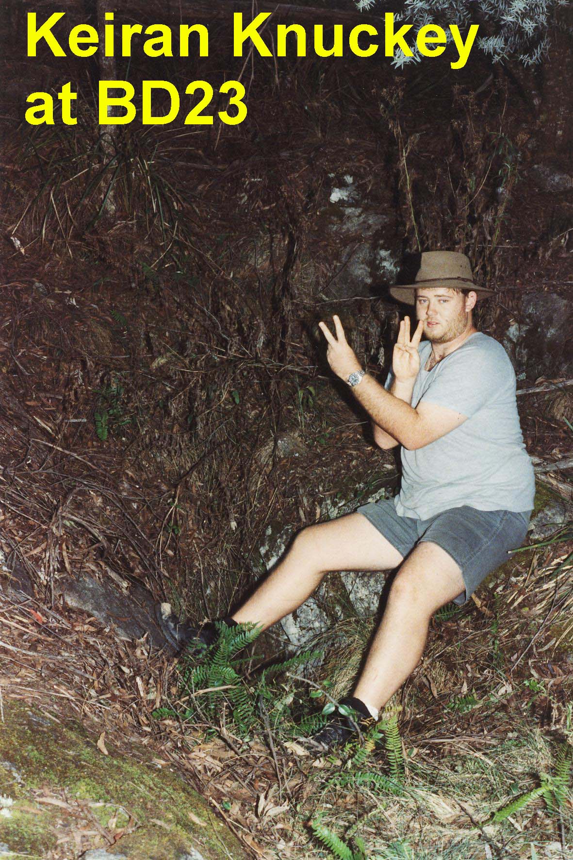
NUMBER : BD‑23
CAVE
NAME : PIPE CAVE
KARST
BLOCK : Krawarree
LOCATION OF
CAVE : NEAR CAIRN Krawarree
Saddle north of BD29
CAVE TAG
LOCATION : SOUTH SIDE OF HOLE
DATE TAG
PLACED :12/8/1972
TAG
CONFIRMED :25/9/1994
WHEN
DISCOVERED :
WHO
DISCOVERED :
LENGTH :
DEPTH : VERTICAL 90 FT POT
REFERENCES : ISS Newsletter Vol 2#2
August 1979p 38
ISS Newsletter
Vol 4#2
NOTABLE
FEATURES : TRICKETS POT
GEAR
REQUIRED :
DESCRIPTION :
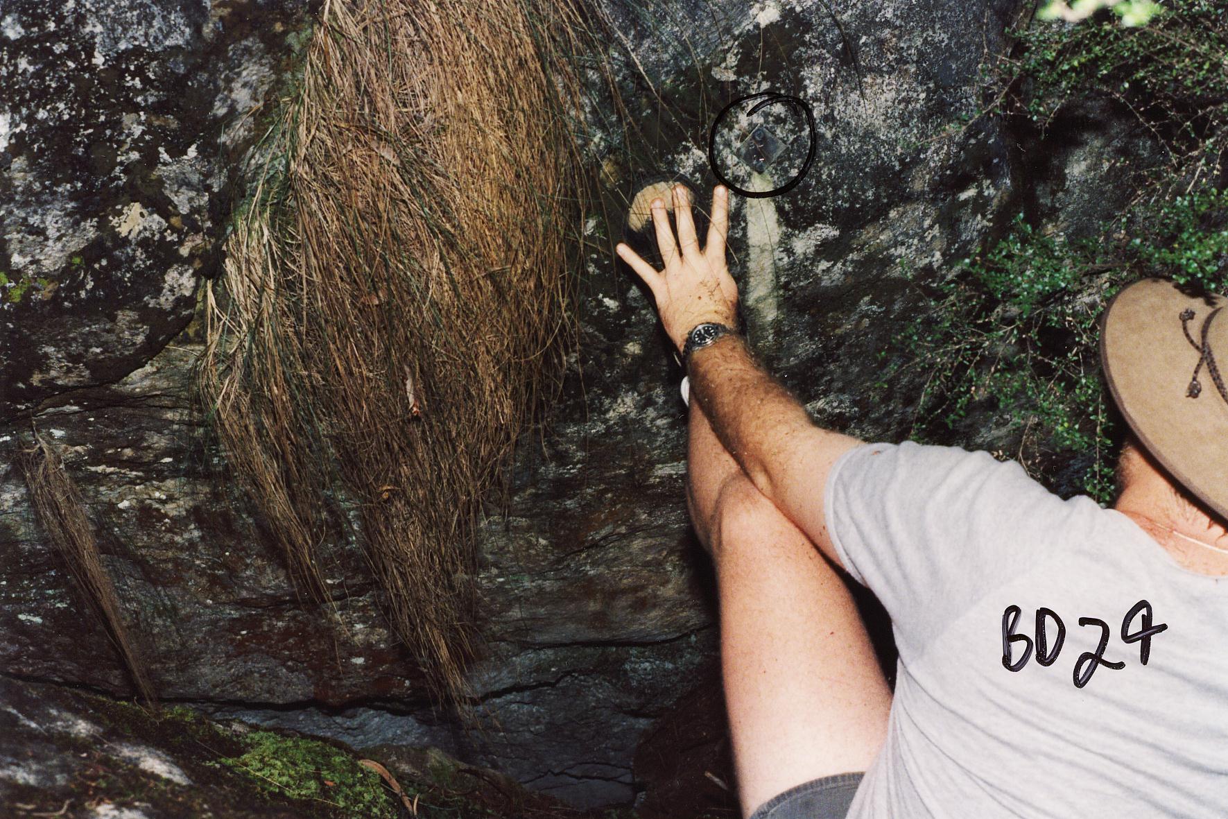
 NUMBER : BD‑24 BD24
Map
NUMBER : BD‑24 BD24
Map
CAVE
NAME :
KARST
BLOCK : Krawarree
LOCATION OF
CAVE : SOUTH OF AND CLOSE NEAR
BD‑23 nth of BD29
CAVE TAG
LOCATION : NORTH SIDE OF HOLE
DATE TAG
PLACED :12/8/1972
TAG
CONFIRMED :25/9/1994
WHEN
DISCOVERED :
WHO
DISCOVERED :
LENGTH :
DEPTH : POT 20 FT
REFERENCES : ISS Newsletter Vol 2#2
August 1979p 38
ISS Newsletter Vol 4#2 July 1998 p9
NOTABLE
FEATURES : 2ND OF TWO ENTRANCES
TO BD‑25
GEAR
REQUIRED :
DESCRIPTION
:
pot type
cave
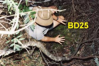
NUMBER : BD‑25
CAVE
NAME :
KARST
BLOCK : Krawarree
LOCATION OF
CAVE : NEAR Cairn Ksouth of and
close to BD23
CAVE TAG
LOCATION : NORTH SIDE OF HOLE
DATE TAG PLACED :12/8/1972
TAG
CONFIRMED :25/9/1994
WHEN
DISCOVERED :
WHO
DISCOVERED :
LENGTH :
DEPTH :
REFERENCES : ISS Newsletter Vol 2#2
August 1979p 38
ISS Newsletter
Vol 4#2 July 1998 p9
NOTABLE
FEATURES :
GEAR
REQUIRED :
DESCRIPTION :
pot type
cave
NUMBER : BD‑26
CAVE
NAME :
KARST
BLOCK : Krawarree
LOCATION OF
CAVE : SOUTH OF BD‑23
CAVE TAG
LOCATION :
DATE TAG
PLACED :12/8/1972
TAG
CONFIRMED :
WHEN
DISCOVERED :
WHO
DISCOVERED :
LENGTH :
DEPTH : 26FT
REFERENCES : ISS Newsletter Vol 2#2 August
1979p 38
NOTABLE
FEATURES : FLUTED POT
DESCRIPTION :
NUMBER : BD‑27
CAVE
NAME :
KARST
BLOCK : Krawarree
LOCATION OF
CAVE : Krawarree Saddle
CAVE TAG
LOCATION : NORTH RIM OF DOLINE
DATE TAG
PLACED :12/8/1972
TAG
CONFIRMED :
WHEN
DISCOVERED :
WHO
DISCOVERED :
LENGTH :
DEPTH : SMALL CAVE
REFERENCES : ISS Newsletter Vol 2#2
August 1979p 38
NOTABLE
FEATURES : 50FT DOLINE
DESCRIPTION :
a small cave
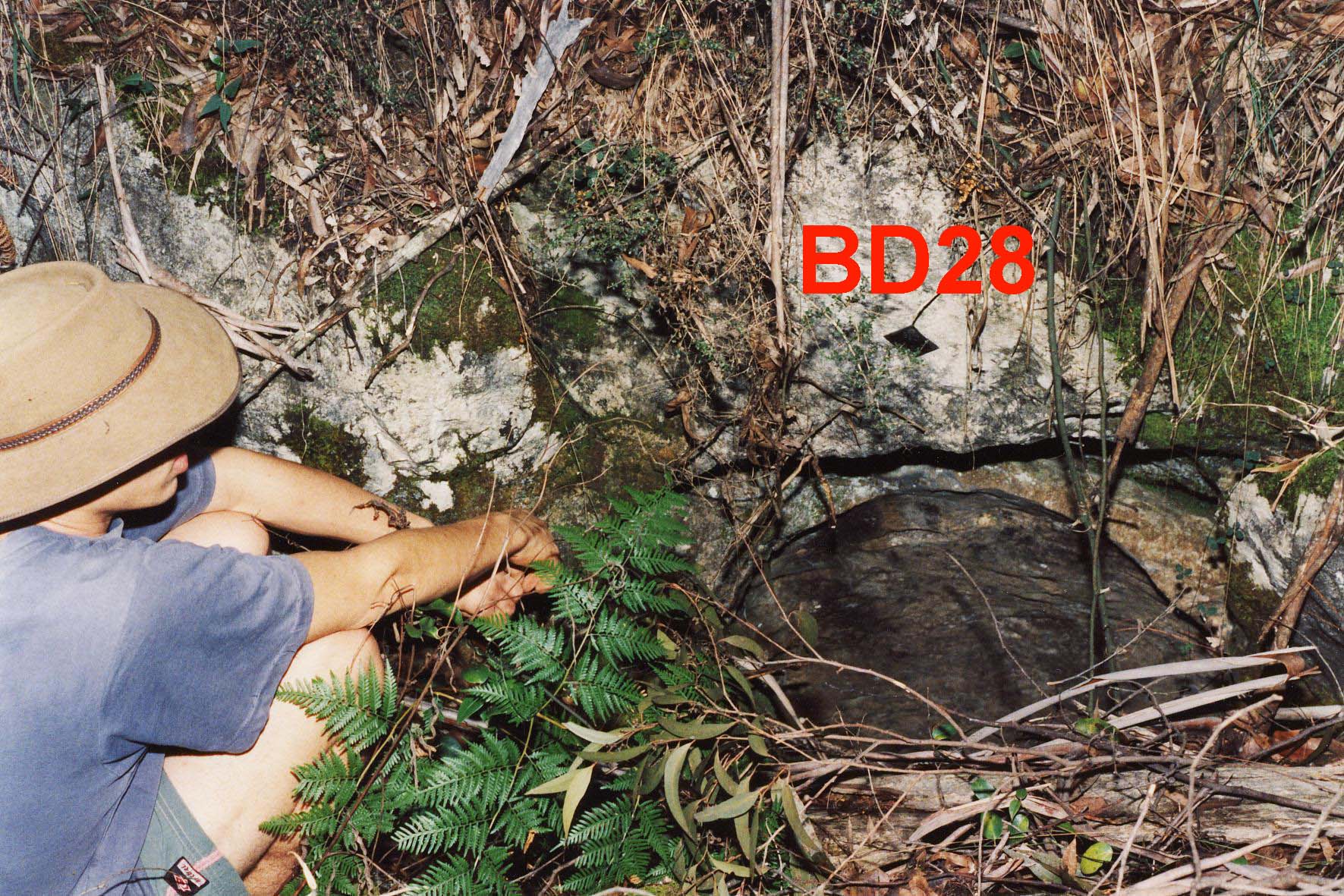
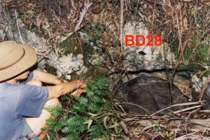
NUMBER : BD‑28
CAVE
NAME : JIM'S CAVE
KARST
BLOCK : Krawarree
LOCATION OF
CAVE : Krawarree Saddle nth of
BD29
CAVE TAG
LOCATION
DATE TAG
PLACED :12/8/1972
TAG
CONFIRMED :25/9/1994
WHEN
DISCOVERED : 12 AUGUST 1972
WHO
DISCOVERED : Jim Farnworth,
from a British caving group
LENGTH : 40FT
DEPTH : 20FT
REFERENCES : ISS Newsletter Vol 2#2
August 1979p 38
ISS Newsletter Vol 4#2
NOTABLE
FEATURES : FISSURE INTO RIFT
GEAR
REQUIRED :
DESCRIPTION :
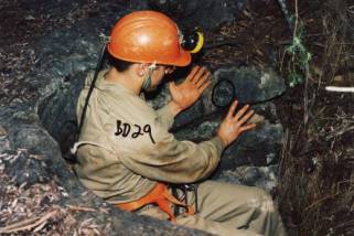
NUMBER : BD‑29
BD29 Map
CAVE
NAME : EAST POT
KARST
BLOCK : Krawarree
LOCATION OF
CAVE : south side of Krawarree saddle
down from BD28, near limestone point
CAVE TAG
LOCATION :
DATE TAG
PLACED : 5/5/1973
TAG
CONFIRMED :16/5/1998
WHEN
DISCOVERED : 22/SEPT 1972
WHO
DISCOVERED :
LENGTH : 20M
DEPTH : 20M+
REFERENCES : ISS Newsletter Vol 2#2
August 1979 P 38;40;42
ISS Newsletter Vol 24#2 July 1998 p9
NOTABLE
FEATURES : 10M W OF LIMESTONE
LOOKOUT
GEAR
REQUIRED :
DESCRIPTION :
a 55 ft
ladder only just reached the bottom. It was found that the 2 pipes went into
the same fissure
there was
some formation and a fresh skeleton of a small animal
“Antoher
untagged cave is licated some 6m West of BD29. This was given a red tag 8 . A
grade 1 survey was conducted. The cave is rift developed and BD29 and Red 8 are
connected”ISS Newsletter Vol 4#2 July 1998 p9
BD Red 8 is
infact BD30 - ISS Newsletter Vol 2#2 August 1979 p42
NUMBER : BD‑30
CAVE
NAME : KRAWARREE SADDLE
KARST
BLOCK : Krawarree
LOCATION OF
CAVE : NEAR BD‑29 TOP SE END ON FLAT LIMESTONE
CAVE TAG
LOCATION :
DATE TAG
PLACED : 5/5/1973
TAG
CONFIRMED : Red BD8 June 1998
WHEN
DISCOVERED :
WHO
DISCOVERED :
LENGTH :
DEPTH : 20M+
REFERENCES : ISS Newsletter Vol 2#2
August 1979 p 42
ISS Newsletter
Vol 4#2 July 1998 p9
NOTABLE
FEATURES : joins to BD29
DESCRIPTION :
“Another
untagged cave is located some 6m West of BD29. This was given a red tag 8 . A
grade 1 survey was conducted. The cave is rift developed and BD29 and Red 8 are
connected” ISS Newsletter Vol 4#2 July 1998 p9
BD Red 8 is
infact BD30 - ISS Newsletter Vol 2#2 August 1979 p42
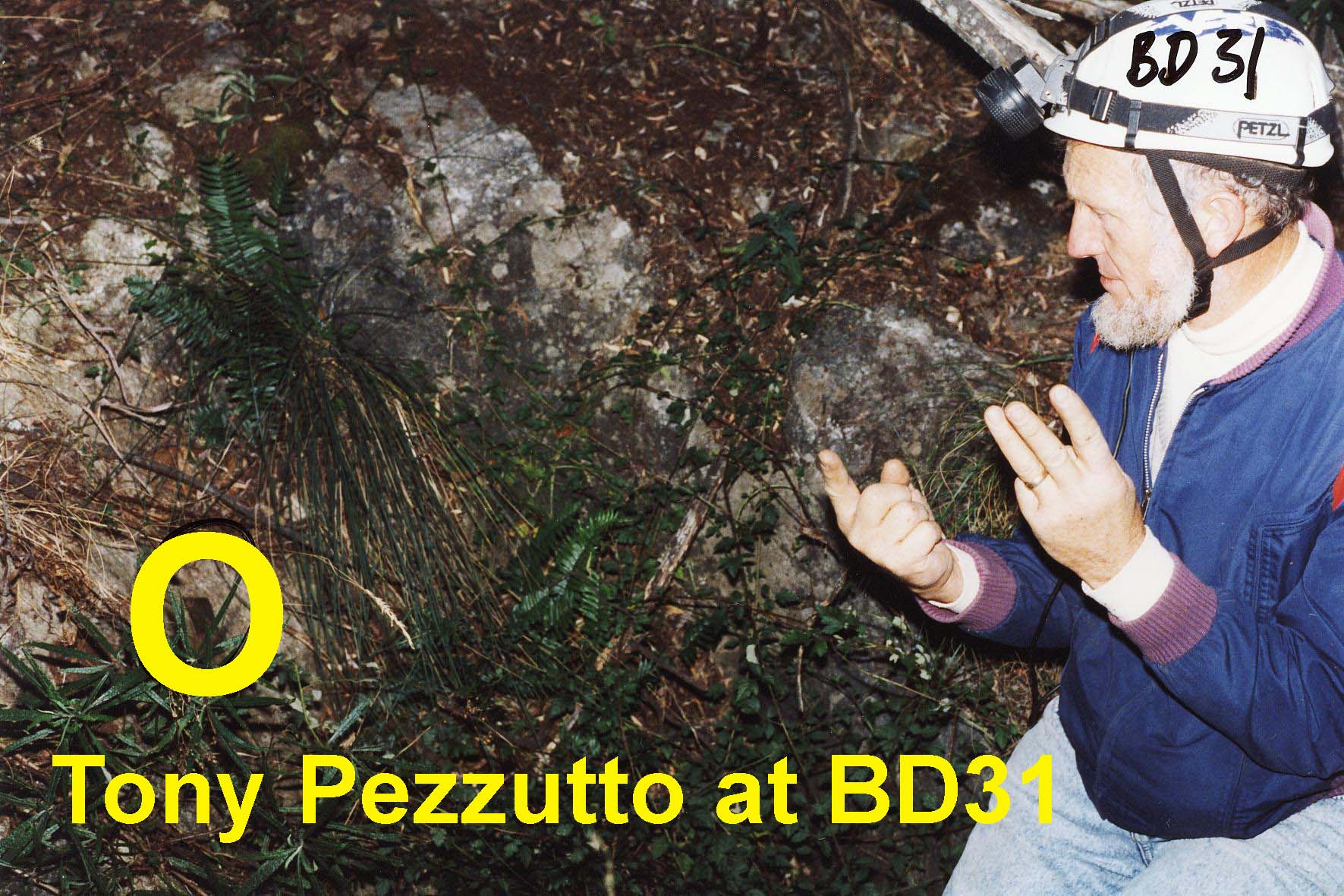
NUMBER : BD‑31
CAVE
NAME :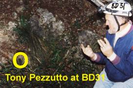
KARST
BLOCK : Krawarree
LOCATION OF
CAVE : NEAR CairnK north of BD29
CAVE TAG
LOCATION :
DATE TAG
PLACED : 5-5-1973
TAG
CONFIRMED :16/5/1998
WHEN
DISCOVERED :
WHO
DISCOVERED :
LENGTH : 2M
DEPTH : 2M
REFERENCES : ISS Newsletter Vol 2#2p42
ISS Newsletter Vol 4#2 July 1998 p9
NOTABLE
FEATURES : SOLUTION PIPE
GEAR
REQUIRED :
DESCRIPTION :
NUMBER : BD‑32
CAVE
NAME : UNEXPLORED HOLE
KARST
BLOCK : Krawarree
LOCATION OF
CAVE :
CAVE TAG
LOCATION :
DATE TAG
PLACED :
TAG
CONFIRMED :
WHEN
DISCOVERED :
WHO
DISCOVERED :
LENGTH :
DEPTH :
REFERENCES :
NOTABLE
FEATURES :
DESCRIPTION :
NUMBER : BD‑33
CAVE
NAME : UNEXPLORED HOLE
KARST
BLOCK : Krawarree
LOCATION OF
CAVE :
CAVE TAG
LOCATION :
DATE TAG
PLACED :
TAG
CONFIRMED :
WHEN
DISCOVERED :
WHO
DISCOVERED :
LENGTH :
DEPTH :
REFERENCES :
NOTABLE
FEATURES :
DESCRIPTION :
NUMBER : BD‑34
CAVE
NAME : UNEXPLORED HOLE
KARST
BLOCK : Krawarree
LOCATION OF
CAVE :
CAVE TAG
LOCATION :
DATE TAG
PLACED :
TAG
CONFIRMED :
WHEN
DISCOVERED :
WHO
DISCOVERED :
LENGTH :
DEPTH :
REFERENCES :
NOTABLE
FEATURES :
DESCRIPTION :
NUMBER : BD‑35
CAVE
NAME : GIN CAVE
KARST
BLOCK : Gin Outcrop
LOCATION OF
CAVE : GIN OUTCROP N SIDE OF LITTLE CON CREEK W END
CAVE TAG
LOCATION :
DATE TAG
PLACED : 2/6/1973
TAG
CONFIRMED :
WHEN
DISCOVERED : Before OCTOBER
1965
WHO
DISCOVERED : Aborigines used it
see CSS the very latest for article
LENGTH :
DEPTH :
REFERENCES :ISS Newsletter Vol 2#2 August
1979pp 9;10;11;43
NOTABLE
FEATURES : REPORTED TO BE
BLOCKED BY WATER
DESCRIPTION :
from SSS
STOP PRESS march 1965 p 5 by Ross Ellis
It is
situated on the southern limestone mass, at the 1550 ft above sea level mark.
From
extract from “The Shoalhaven” Newspaper 14th June 1930 by R. King
reprinted
in CSS “The Very Latest” Vol 3, no9
‘It was to
the Gins Cave that all native couples were condemed to spend their honeymoon,
and when the time expired the lord of the manor, with his gin, came down to
earth, and they were admitted to the “San Hedrin” of the tribe.’
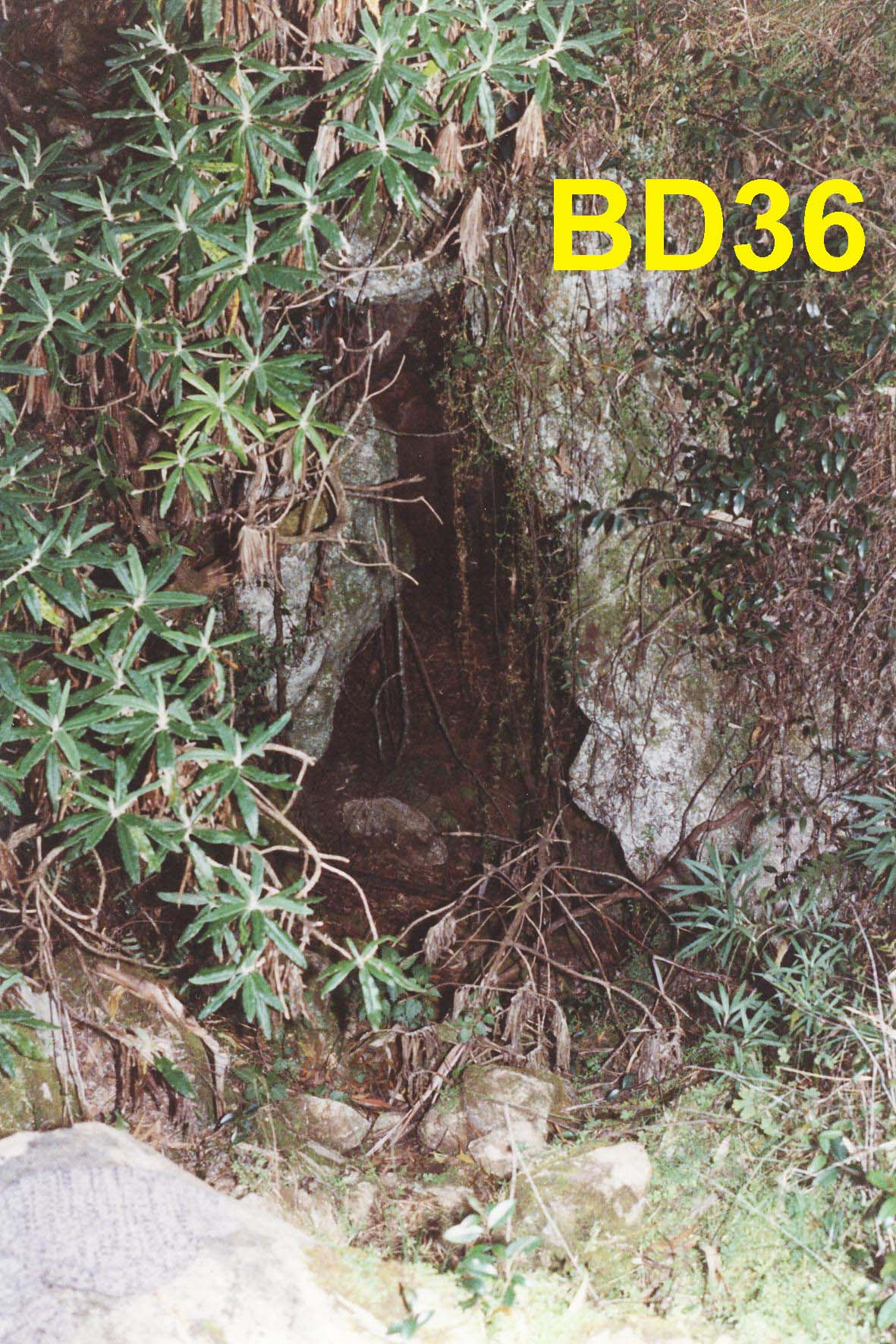
NUMBER : BD‑36 BD
36 Map
CAVE
NAME : WET CAVE
KARST
BLOCK : Gin Outcrop
LOCATION OF
CAVE : GIN CAVE
CAVE TAG
LOCATION : inside on LHS wall
about 1.5m high
DATE TAG
PLACED : 2-6-1973
TAG
CONFIRMED :June 1999
WHEN
DISCOVERED :
WHO
DISCOVERED :
LENGTH :
DEPTH :
REFERENCES :ISS Newsletter Vol 2#2 August
1979 p 43,
ISS Newsletter
Vol 5 no 3 September p 13
Journal
of SSS 1995 volume 39 no 6
NOTABLE
FEATURES : SMALL WATER BLOCKED
CAVE
a report from the Journal of SSS
1995 volume 39 no 6 page 125/126 by Bruce Steweart
trip
report 2 October 1993
I ... had
been given a good description of what
the sump looked like, I decided that it was a marginal prospect for
anything amazing. So, I only packed a 12cu foot pony bottle, a lightweight 3mm
wetsuit, a helmet, shoves and dive reel. The Iittle sump was the usual clear
turquoise blue, with a silty bottom and what had been described to me as a
slight squeeze hole, was the way on. So, I geared up and put my head through
the hole and realised there was definitely a way on, but water having
magnifying properties, this little hole was a bit of a concern. Anyway, going
through feet first and trailing dive line, my positive buoyancy was a bit of a problem (as carrying
a weight belt down here would have been
awful), so I came back through the hole and surfaced with thoughts of what
could I use as a weight belt. Unfortunately there was nothing that I could use
and I didn't want to wear a pack full of rocks, so I went back through the hole
again for a
further
look. The water now had zero visibility in the squeeze and it was back to
diving by feel.
Atter
coming out of the silt cloud, I noticed a lead on the left hand side and a
passage
going off
in front of me. Diving into the passage, I found my positive buoyancy made
it very
difficult, so I stopped and gathered my dive line and looked at the air
remaining
and decided
to turn back, with a mudbank rising in front of me.
ISS
Newsletter vol 5 no 3 September 1999 p13
We found
BD36 and had lunch among the leeches and Blanket-leaf Trees (Bedfordia
arborescens), a slender-trunked small tree with dark green leaves on the top
side and woolly white underneath, with dead leaves often hanging beneath. The leaves only grow in bundles on the end
of the branches - a quite distinctive tree. The bright yellow small flowers
(Nov to Jan) are in loose woolly clusters. After this respite we surveyed and explored
it for about ½ hour.
There is a
black PVC pipe running from the water in the sump to outside the cave. Placed
there by Bruce Stewart
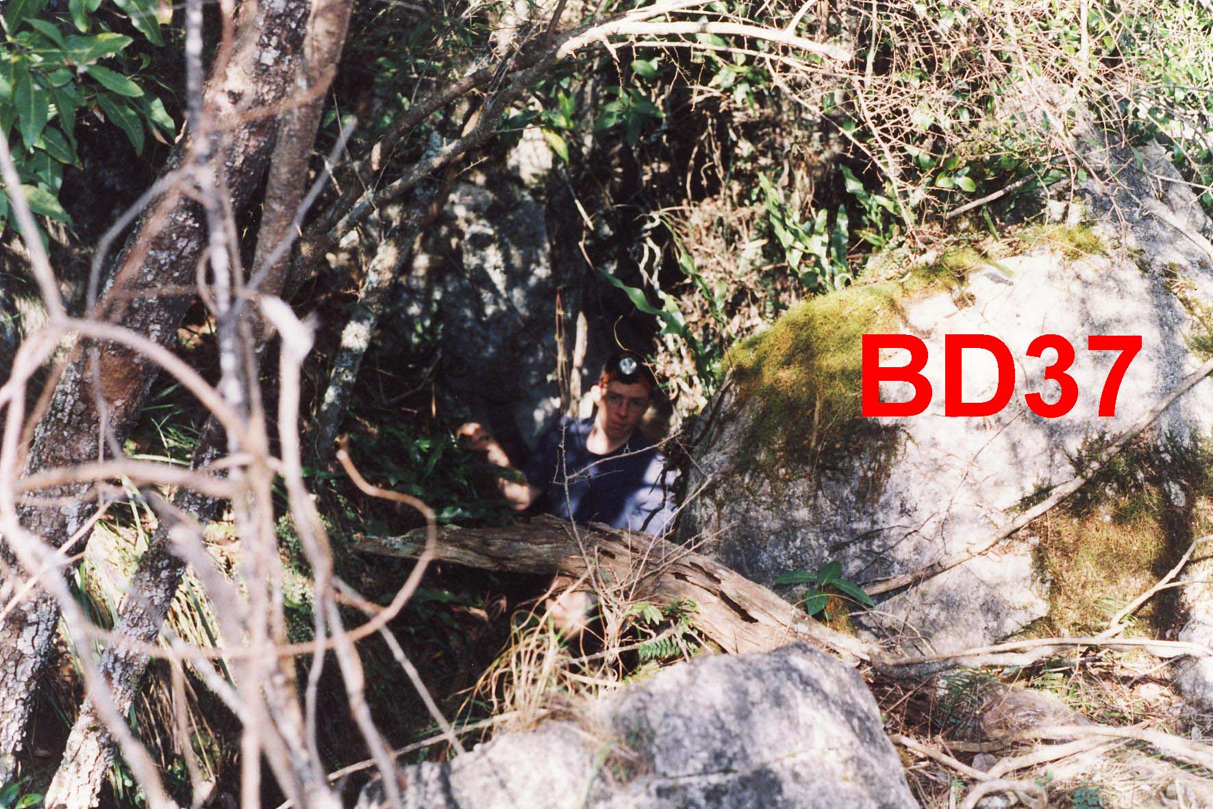
NUMBER : BD‑37
CAVE
NAME : WET CAVE EFFLUX
KARST
BLOCK : Gin Outcrop
LOCATION OF
CAVE : BELOW WET CAVE BD‑36
CAVE TAG
LOCATION :
DATE TAG
PLACED : 2-6-1973
TAG CONFIRMED :11/9/1999
WHEN
DISCOVERED :
WHO
DISCOVERED :
LENGTH :
DEPTH :
REFERENCES :ISS Newsletter Vol 2#2 August
1979 P43
NOTABLE
FEATURES :
DESCRIPTION :
A small cave efflux
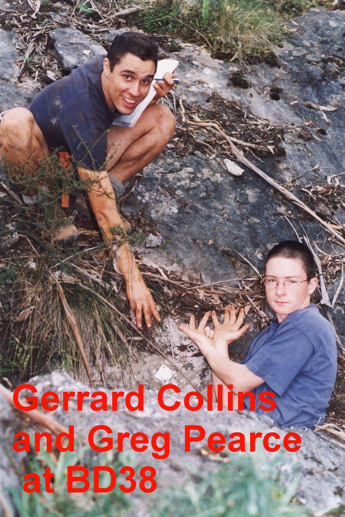
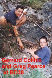
NUMBER : BD‑38
BD38 Map
CAVE
NAME :
KARST
BLOCK : Gin Outcrop
LOCATION OF
CAVE : NEAR GIN CAVE
CAVE TAG
LOCATION :
DATE TAG
PLACED : 2-6-1973
TAG
CONFIRMED : 11/9/1999
WHEN DISCOVERED :
WHO
DISCOVERED :
LENGTH : 1M
DEPTH : 2M
REFERENCES : ISS Newsletter Vol 2#2
August 1979 P 43
ISS Newsletter
Vol 5#3 Sept 1999 p 13
NOTABLE
FEATURES : TOP OF OUTCROP E END
OF LIMESTONE OUTCROP
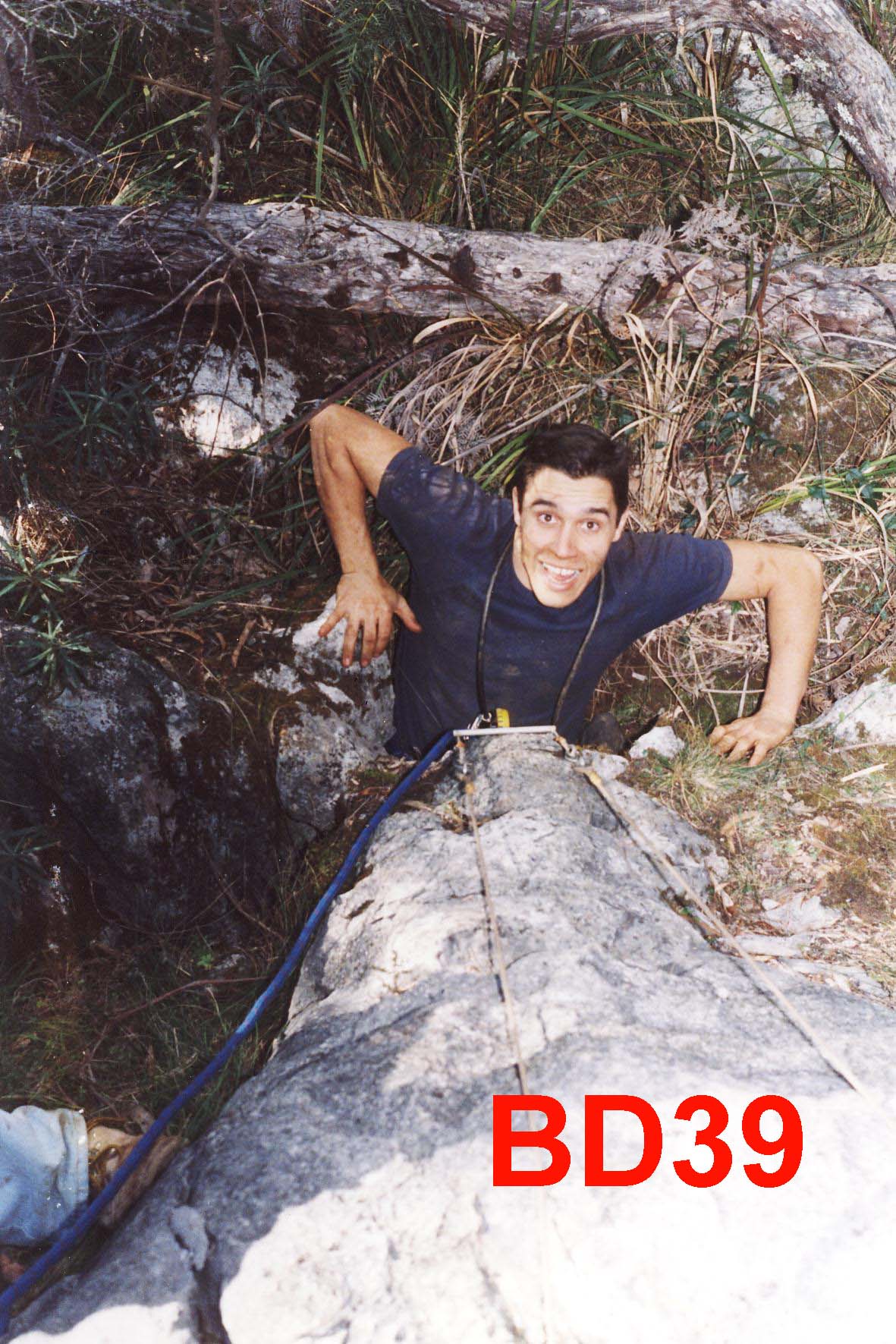
NUMBER : BD‑39
BD39 Map
CAVE
NAME :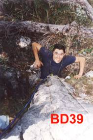
KARST
BLOCK : Gin Outcrop
LOCATION OF
CAVE : ABOVE GIN CAVE
CAVE TAG
LOCATION :
DATE TAG
PLACED : 2/6/1973
TAG
CONFIRMED :11/9/1999
WHEN
DISCOVERED :
WHO
DISCOVERED :
LENGTH : 20M
DEPTH : 20M
REFERENCES : ISS Newsletter Vol 2#2
August 1979 p 43
NOTABLE
FEATURES : SHAFT IN RIFT ‑GOOD
FORMATION 2 LEVELS CAN BE SEEN
GEAR
REQUIRED :
DESCRIPTION :
NUMBER : BD‑40
BD40
CAVE
NAME :
KARST
BLOCK : Gin Outcrop
LOCATION OF
CAVE : GIN CAVE AREA south of
Gin ridge, sth side of gully
CAVE TAG
LOCATION :
DATE TAG
PLACED : 2-6-1973
TAG
CONFIRMED :
WHEN
DISCOVERED :
WHO
DISCOVERED :
LENGTH :
DEPTH :
REFERENCES : ISS Newsletter Vol 2#2 August
1979 PAGE 43
NOTABLE
FEATURES :
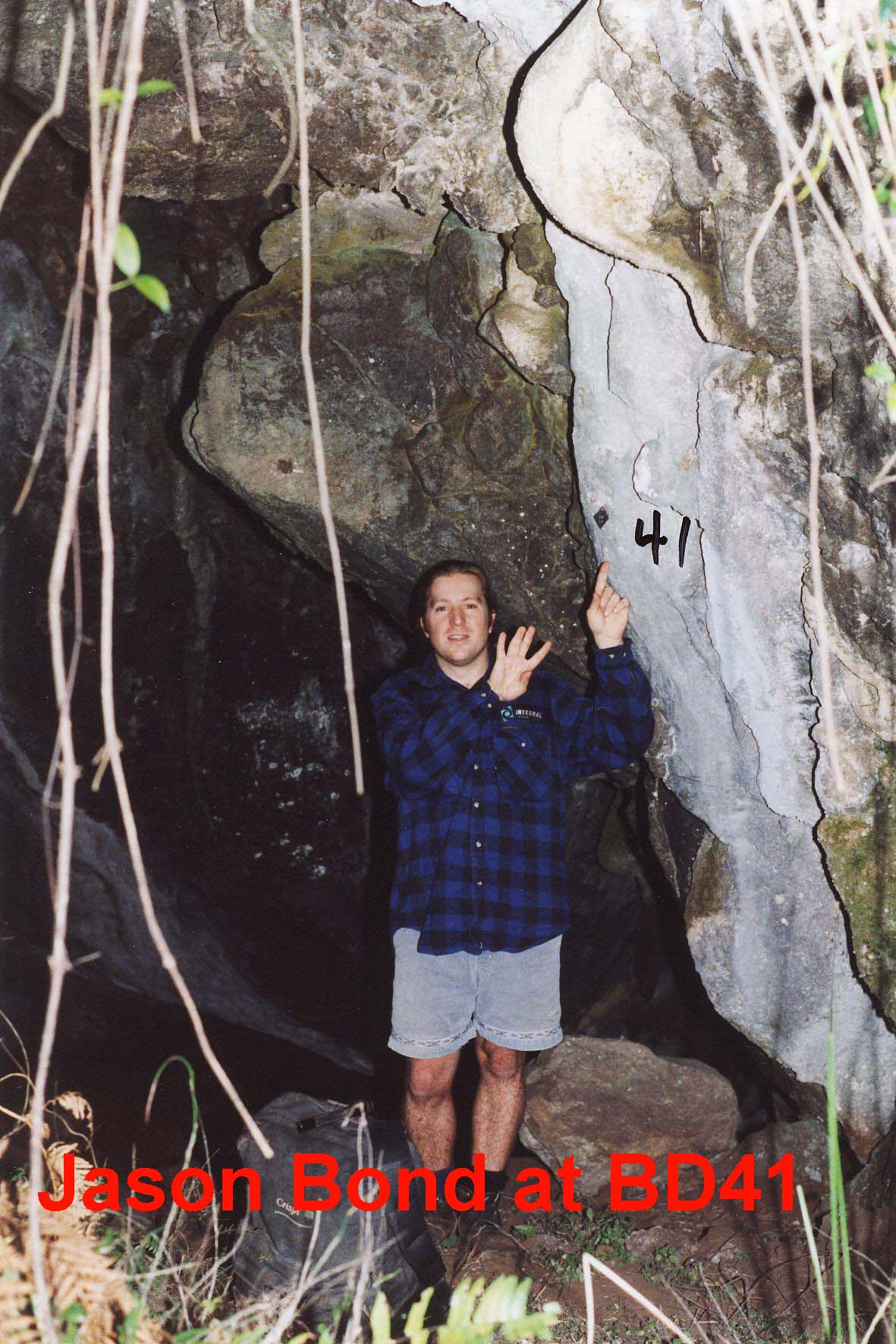
NUMBER : BD41 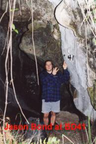
CAVE
NAME : Phantom Cave
KARST
BLOCK : Gin Outcrop
LOCATION OF
CAVE : Gin Outcrop
CAVE TAG
LOCATION : RHS
DATE TAG
PLACED : 20/4/2000
TAG
CONFIRMED :20/4/2000
WHEN DISCOVERED : Bermaguii Vol 12 #6 p3
WHO
DISCOVERED :
LENGTH : 3m
DEPTH :
REFERENCES : Bermaguii Caver Vol 12 #6 p3
NOTABLE
FEATURES : cave entrance closing
off
GEAR
REQUIRED :
DESCRIPTION :
sloping dirt floor to a small hole
NUMBER : BD‑42
BD42 Map
CAVE
NAME :
KARST
BLOCK : Gin
LOCATION OF
CAVE : above BD 39 near BD 44
CAVE TAG
LOCATION :
DATE TAG
PLACED : 11-9-1999
TAG
CONFIRMED :
WHEN
DISCOVERED : 11-9-1999 could
have been in 1968
WHO
DISCOVERED : Gerrard Collins
LENGTH :
DEPTH :
REFERENCES : ISS Newsletter vol 5 no 3
p13
NOTABLE
FEATURES :
NUMBER : BD‑43
BD43 Map
CAVE
NAME :
KARST
BLOCK : Gin
LOCATION OF
CAVE : Below BD 39
CAVE TAG
LOCATION : north side of hole
DATE TAG
PLACED :20/4/2000
TAG
CONFIRMED :20/4/2000
WHEN
DISCOVERED :20/4/2000
WHO
DISCOVERED :Jason Bond and Bob
Kershaw
LENGTH :
DEPTH :
REFERENCES :
NOTABLE
FEATURES :
GEAR
REQUIRED :
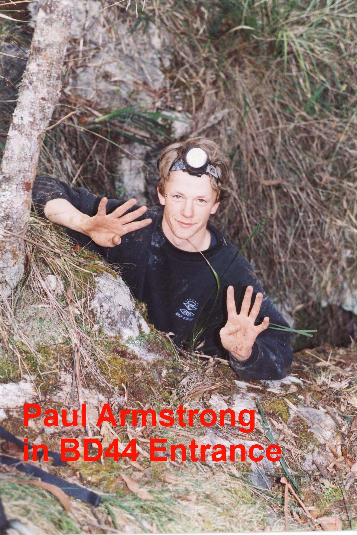
 NUMBER : BD-44
BD44 Map
NUMBER : BD-44
BD44 Map
CAVE
NAME : Bent Tree Pot
KARST
BLOCK : Gin Outcrop
LOCATION OF
CAVE : Top Gin Outcrop
CAVE TAG
LOCATION :
DATE TAG
PLACED :11/9/1999
TAG
CONFIRMED :11/9/1999
WHEN
DISCOVERED : 1994
WHO
DISCOVERED : NUCC
LENGTH :
DEPTH :
REFERENCES :ISS Newsletter vol 5 no 3, sept 1999
p 13
NOTABLE
FEATURES :
GEAR
REQUIRED :
DESCRIPTION :
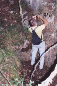
NUMBER : BD‑45 BD45
Map
CAVE
NAME :
KARST
BLOCK : Flagpole Flat
LOCATION OF
CAVE : below kurrajong at base
of knoll adjacent to flagpole flat
CAVE TAG
LOCATION :LHS
DATE TAG
PLACED :23/4/2000
TAG
CONFIRMED :23/4/200
WHEN
DISCOVERED :
WHO
DISCOVERED :
LENGTH :2m
DEPTH :1m
REFERENCES :
NOTABLE
FEATURES : small hole under
Kurrajong tree
:
GEAR
REQUIRED :
DESCRIPTION :
NUMBER : BD‑46
BD46 Map
CAVE
NAME : 5 Kurrajongs
KARST
BLOCK : Main
LOCATION OF
CAVE : near BD1
CAVE TAG
LOCATION :on right wall of the
entrance, head height just within the drip line
DATE TAG
PLACED : 12-9-1999
TAG
CONFIRMED :12-9-1999
WHEN DISCOVERED :12-9-1999
WHO
DISCOVERED :Kemister,
Collins,Sanders
LENGTH :
DEPTH : 3m
REFERENCES : ISS Newsletter vol 5, no 3
September 1999 p 14
NOTABLE
FEATURES :
GEAR
REQUIRED :
DESCRIPTION :
The
entrance is a 3m wide by 1.5m high solution hole in solid limestone, facing
North East, and angling into the hillside at 450. It was found just within a vegetation change
from close Bendethera Wattle to an interspersed Tea tree looking shrub when
coming from the direction of BD1. A
bearing was taken to a prominent peak to the North, bearing 100. The entrance is approximately at the same
elevation as BD1. Growing within the
entrance is a coppiced trunk of a non eucalupt tree. Two Kurrajongs are growing to the South East and one to the North
east of the entrance. The cave is about
3m deep, terminating in a clean rubble filled floor. It is interesting that any silt washed into the cave appears to
have washed through the rubble floor, and because of this is possibly worth
digging. No airflow was noticed. There is old flowstone/formation evident on
the roof and walls, with a large chunk having fallen from the roof.
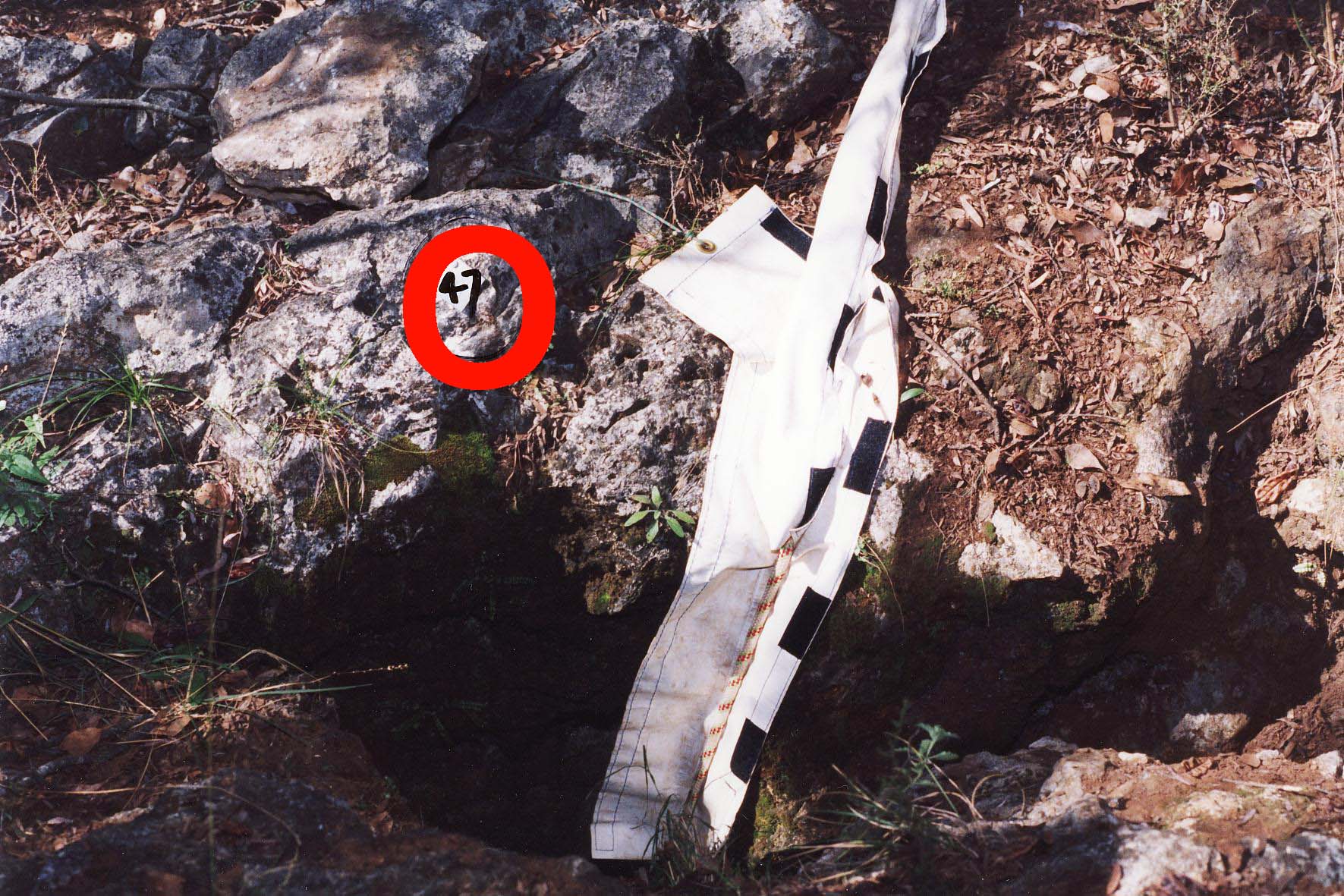
 NUMBER : BD‑47 BD
47 Map
NUMBER : BD‑47 BD
47 Map
CAVE NAME : BD Carved Tree Cave
KARST BLOCK : Flagpole Flat
LOCATION OF CAVE : top of knoll adjacent to Flagpole Flat
CAVE TAG LOCATION :Top LHS of entrance
DATE TAG PLACED : 2/4/2000
TAG CONFIRMED : 2/4/2000
WHEN DISCOVERED : late 1960/early 1970
WHO DISCOVERED :Gordon Sykes/Rick Kelly
LENGTH :12m
DEPTH :12m
REFERENCES :ISS Newsletter Vol 2#2 August 1979 p16
NOTABLE FEATURES :adjacent to Kurrajong tree carved with “BD”
MAP REFERENCE 6 FIGURE :
GEAR REQUIRED : SRT and 25m
rope
DESCRIPTION :
sloping entrance requiring ladder or rope to
descend
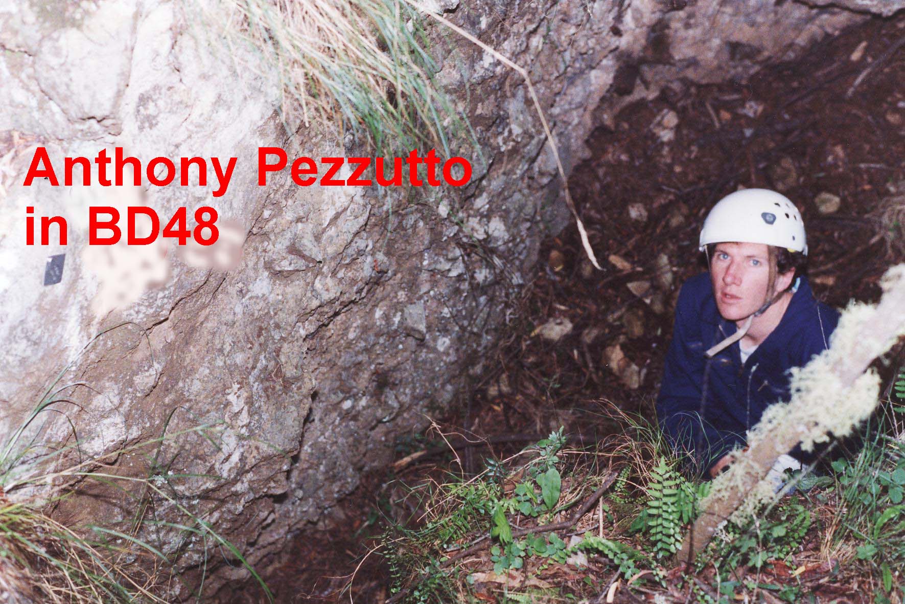
NUMBER : BD‑48 BD
48 Map
CAVE
NAME :
KARST
BLOCK : Flagpole Flat
LOCATION OF
CAVE : below kurrajong at base
of knoll adjacent to flagpole flat
CAVE TAG
LOCATION : LHS
DATE TAG
PLACED : 23/4/2000
TAG
CONFIRMED :23/4/2000
WHEN
DISCOVERED :
WHO
DISCOVERED :
LENGTH : 2m
DEPTH :2m
REFERENCES :
NOTABLE
FEATURES :
GEAR
REQUIRED :
DESCRIPTION :
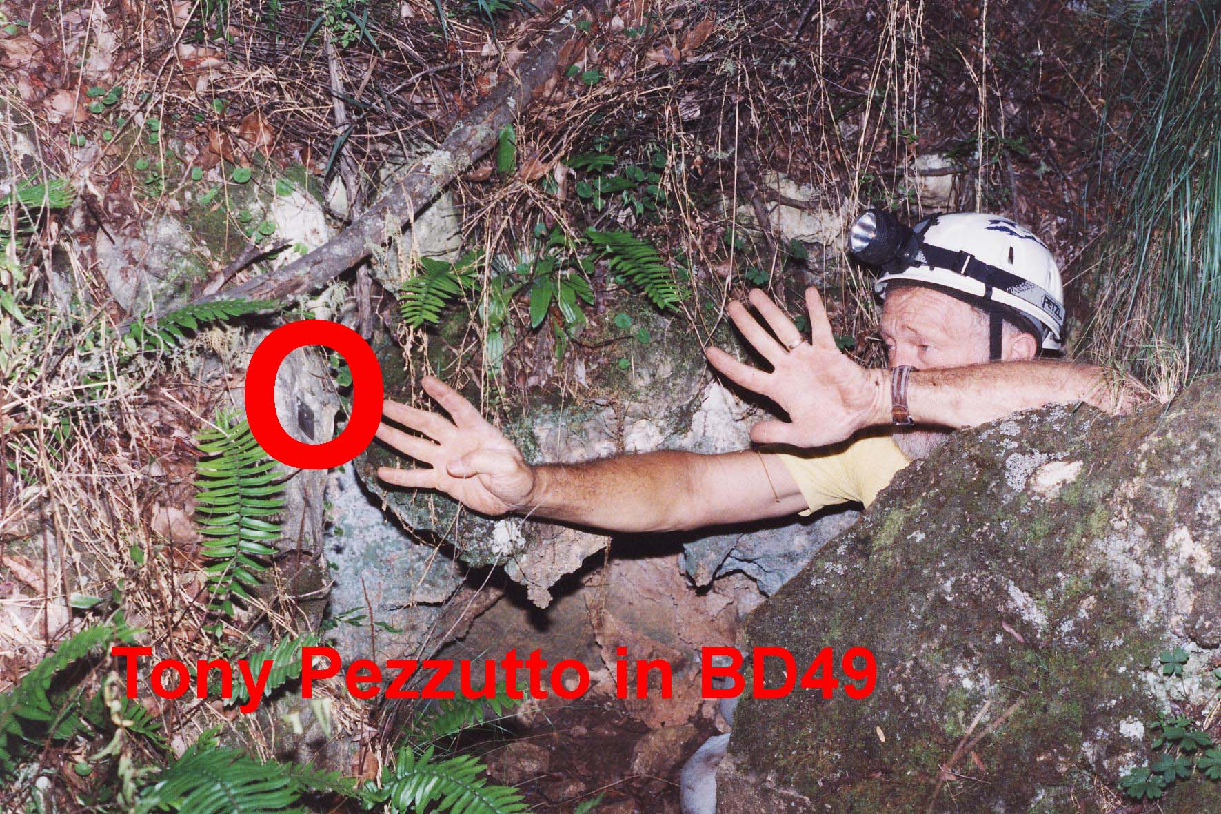
NUMBER : BD49
BD 49 Map
CAVE
NAME :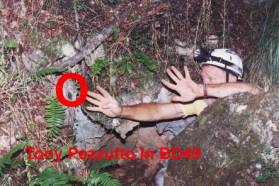
KARST
BLOCK : Flagpole Flat
LOCATION OF
CAVE : KNOLL FACING ROAD TO
FLAGPOLE FLAT
CAVE TAG
LOCATION : Top LHS of entrance
DATE TAG
PLACED : 24/4/2000
TAG
CONFIRMED :24/4/2000
WHEN
DISCOVERED :
WHO
DISCOVERED :
LENGTH :3m
DEPTH :1m
REFERENCES : ISS Newsletter Vol 2#2
August 1979 PAGE 16
NOTABLE
FEATURES : 5 CAVES IN THIS
LOCATION
GEAR
REQUIRED :
DESCRIPTION :
NUMBER : BD‑50
CAVE
NAME :
KARST
BLOCK : Main
LOCATION OF
CAVE : IN GULLY BEHIND RIDGE SW
OF BD‑1
CAVE TAG
LOCATION :
DATE TAG
PLACED :
TAG
CONFIRMED :
WHEN
DISCOVERED : EASTER 1969
WHO
DISCOVERED :
LENGTH : 10 FT
DEPTH : 18FT
REFERENCES : ISS Newsletter Vol 2#2
August 1979 PAGE 17
NOTABLE
FEATURES : VERTICAL ENTRANCE
PASSAGE BLOCKED BY SOIL
DESCRIPTION :
NUMBER : BD‑51
CAVE
NAME :
KARST BLOCK : Main
LOCATION OF
CAVE : IN GULLY BEHIND RIDGE SW
OF BD‑1
CAVE TAG
LOCATION :
DATE TAG
PLACED :
TAG
CONFIRMED :
WHEN
DISCOVERED :
WHO
DISCOVERED :
LENGTH :
DEPTH : 20FT
REFERENCES : ISS Newsletter Vol 2#2
August 1979 PAGE 17
NOTABLE
FEATURES : SOLUTION DOLINE
BLOCKED BY TIMBER AND SOIL
DESCRIPTION :
NUMBER : BD‑52
CAVE
NAME :
KARST
BLOCK : Main
LOCATION OF
CAVE : IN GULLY BEHIND RIDGE SW
OF BD‑1
CAVE TAG
LOCATION :
DATE TAG
PLACED :
TAG
CONFIRMED :
WHEN
DISCOVERED : EASTER 1969
WHO
DISCOVERED :
LENGTH :
DEPTH : 30FT
REFERENCES : ISS Newsletter Vol 2#2
August 1979 PAGE 17
NOTABLE
FEATURES : PIPE SOLUTION BLOCKED
BY SOIL
DESCRIPTION :
NUMBER : BD‑53
CAVE
NAME :
KARST
BLOCK : Main
LOCATION OF
CAVE : IN GULLY BEHIND RIDGE SW
OF BD‑1
CAVE TAG
LOCATION :
DATE TAG
PLACED :
TAG
CONFIRMED :
WHEN
DISCOVERED : EASTER 1969
WHO
DISCOVERED :
LENGTH :
DEPTH : 12 FT
REFERENCES : ISS Newsletter Vol 2#2
August 1979 PAGE 17
NOTABLE
FEATURES : SINK HOLE BLOCKED BY
SOIL
DESCRIPTION :
NUMBER : BD‑54
CAVE
NAME :
KARST
BLOCK : Main
LOCATION OF
CAVE : IN GULLY BEHIND RIDGE SW
OF BD‑1
CAVE TAG
LOCATION :
DATE TAG
PLACED :
TAG
CONFIRMED :
WHEN
DISCOVERED : EASTER 1969
WHO
DISCOVERED :
LENGTH :
DEPTH : 8 FT
REFERENCES : ISS Newsletter Vol 2#2
August 1979 PAGE 17
NOTABLE
FEATURES : small verticcal
holeBLOCKED BY SOIL AND ROCK
DESCRIPTION :
NUMBER : BD‑55
CAVE
NAME : ECHIDNA CAVE
KARST
BLOCK : Main
LOCATION OF
CAVE : IN GULLY BEHIND RIDGE SW
OF BD‑1
CAVE TAG
LOCATION : painted
DATE TAG
PLACED : 6-4-1969 in yellow
paint
TAG
CONFIRMED : 10/8/1994
WHEN
DISCOVERED : EASTER 1969
WHO
DISCOVERED : BONWICK AND
STENGAL
LENGTH :
DEPTH : 50FT
REFERENCES : ISS Newsletter Vol 2#2
August 1979 p 17;
NOTABLE
FEATURES : 70o SLOPE
SILTED AT BOTTOM
DESCRIPTION :
from SSS
Journal Stop Press June 1969 page 93 report by Peter Shiell
Wolfgang
Stengal and John Bonwick entered a fifth hole [in the area behind BD-1] that
was discovered and descended 35ft into a cave, the floor of which was littered
with animal bones and helictites. The walls of this cavern were also decorated
with shalls and other good formations. A tunnel lead further into the main
ridge but ended in a small cavern 20 ft further on, the way being blocked by
soft soil. This cave was named ECHIDNA CAVE (BD-55) by ISS...
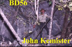
NUMBER : BD‑56 (was BD-A1)
CAVE
NAME :KB Cave (after the
KB Beer drunk by Bermagui Cavers)
KARST
BLOCK : south of the Main
Block
LOCATION OF
CAVE : 100m bearing 200 degrees
from BD1 on same elevation
CAVE TAG
LOCATION : 1 m on RHS of hole
DATE TAG
PLACED : Oct 8, 1994 - BDA1 ,
BD 56 Placed 14th September by Kemister and Kershaw
TAG
CONFIRMED : kershaw 14th
September 2002
 WHEN DISCOVERED :
WHO
DISCOVERED : possibly KB cave
- bermagui
LENGTH :
DEPTH :
REFERENCES :
NOTABLE
FEATURES : entrance is on north
face of rock outcrop
GEAR
REQUIRED : ladders and tapes
to enter the cave
DESCRIPTION :
The
entrance is surrounded by a series of small figs growing - coppiced -above the
rock outcrop above the entrance.
A brief description of BD56 is that
there is an entrance pitch of 6m to a ledge followed by a 3m pitch to another
ledge and then 8m into a chamber below.
but the other group endeavour did
not go beyond this.
NUMBER : BD RED 8
CAVE
NAME : is infact BD30
KARST
BLOCK : Krawarree
LOCATION OF
CAVE : ADJACENT TO BUT WEST OF
BD‑29
CAVE TAG
LOCATION : NORTH SIDE OF HOLE
DATE TAG
PLACED : May 16, 1998
TAG
CONFIRMED :
WHEN
DISCOVERED :
WHO
DISCOVERED :
LENGTH :
DEPTH :
REFERENCES :
NOTABLE
FEATURES :
DESCRIPTION :
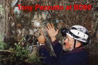
NUMBER : BD60
CAVE
NAME : Paul's Cave
KARST BLOCK : Krawarree
LOCATION OF
CAVE : SW of Krawarree Saddle
CAVE TAG
LOCATION : north side of hole
DATE TAG
PLACED : 19/6/1999
TAG
CONFIRMED :
WHEN
DISCOVERED : April 1981
WHO
DISCOVERED : MUCC
LENGTH :
DEPTH : 30m+
REFERENCES : MUCC Sept 1982
NOTABLE
FEATURES :
GEAR
REQUIRED :
DESCRIPTION
formerly
known as M24 from perkinss 1984 trip to Bendethera
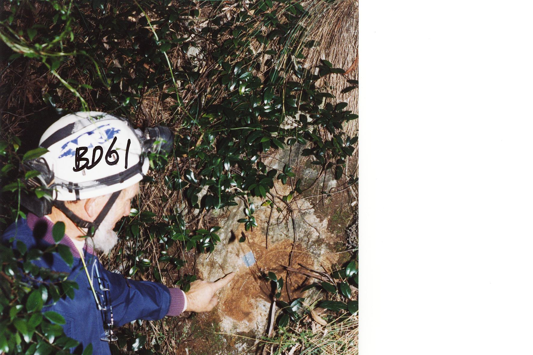
NUMBER : BD61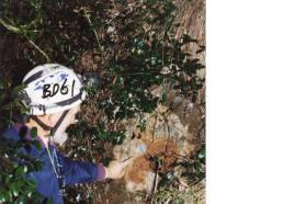
CAVE
NAME :
KARST
BLOCK : Krawarree
LOCATION OF
CAVE : 10m east of BD60
CAVE TAG
LOCATION : north side of hole
DATE TAG
PLACED : 19/6/ 1999
TAG
CONFIRMED :
WHEN
DISCOVERED : April 1982
WHO
DISCOVERED : MUCC
LENGTH :
DEPTH :
REFERENCES :
NOTABLE
FEATURES :
GEAR
REQUIRED :
DESCRIPTION :formerly known as M25 from
perkinss 1984 trip to Bendethera
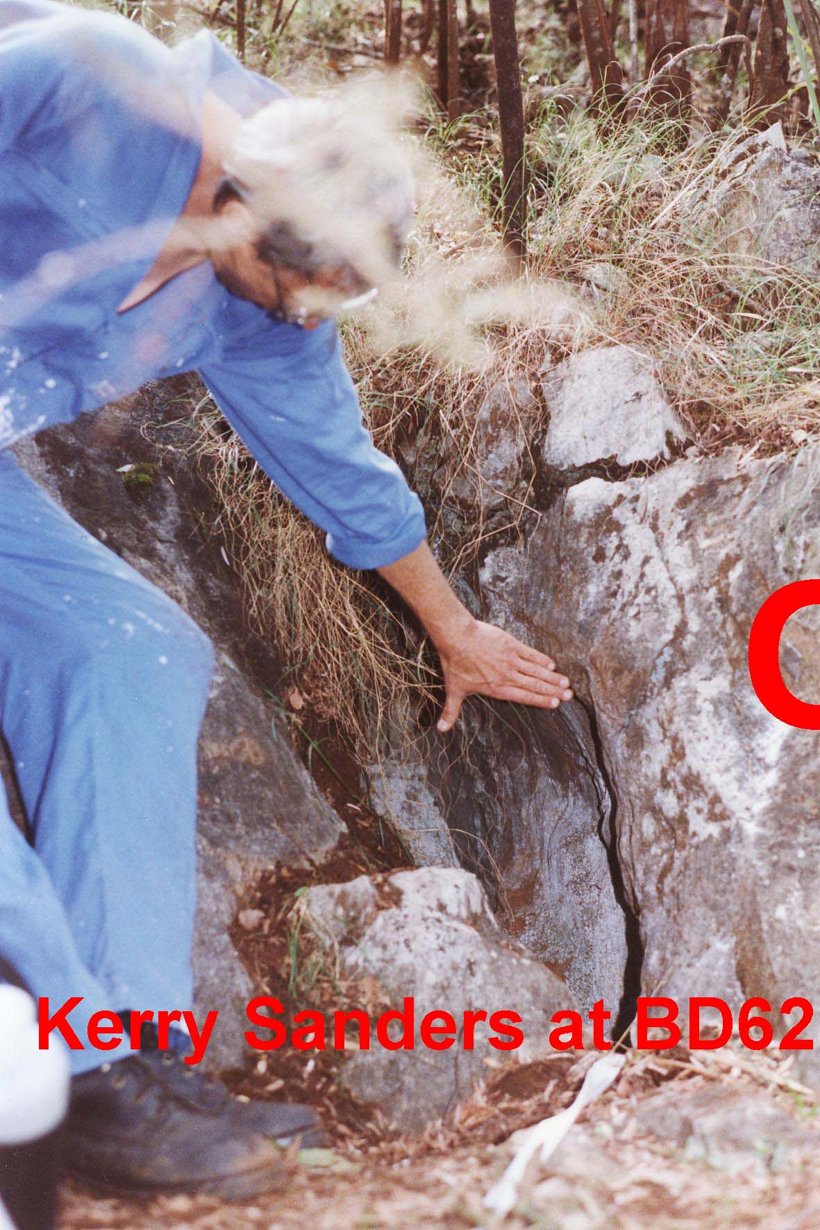
NUMBER : BD 62 BD
62 Map
CAVE NAME :
KARST BLOCK : east of BD4
LOCATION OF CAVE :above BD5
CAVE TAG LOCATION :south side of hole
DATE TAG PLACED : 13th October 2001
TAG CONFIRMED :RGK
WHEN DISCOVERED : 13th October 2001
WHO DISCOVERED : Bob Kershaw
LENGTH : approx 25m
DEPTH :4m
REFERENCES :
NOTABLE FEATURES : very narrow entrance squeeze
GEAR REQUIRED : long tape to use as a hand line
at entrance
DESCRIPTION :
narrow fissure at entrance with
numerous leads to explore.
Runs parallel to Con Creek towards
BD6
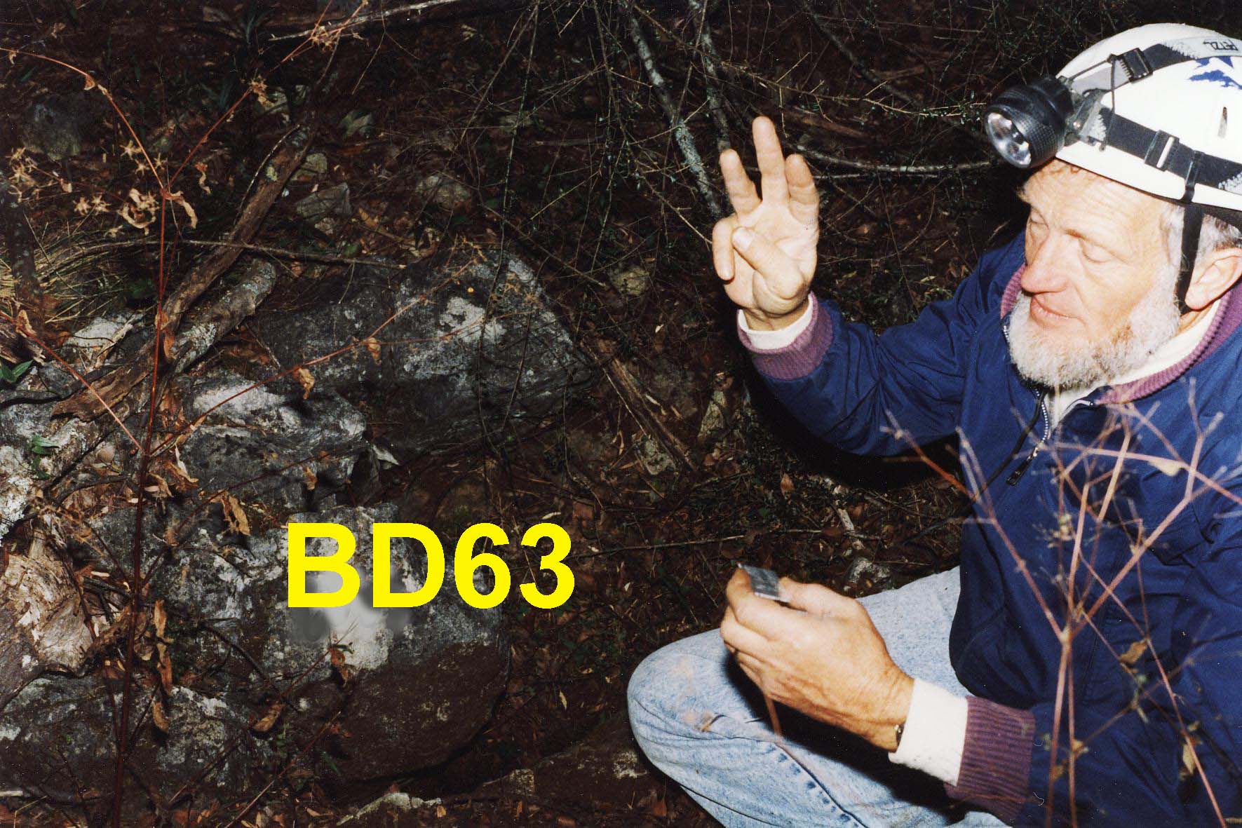
NUMBER : BD 63
CAVE
NAME :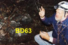
KARST
BLOCK : Krawarree
LOCATION OF
CAVE : near cairn
CAVE TAG
LOCATION : Krawarree Saddle
DATE TAG
PLACED : Jun 19, 1999
TAG
CONFIRMED :
WHEN
DISCOVERED :
WHO
DISCOVERED :
LENGTH :
DEPTH :
REFERENCES :
NOTABLE
FEATURES : could be BD26 ???
GEAR REQUIRED :
DESCRIPTION :
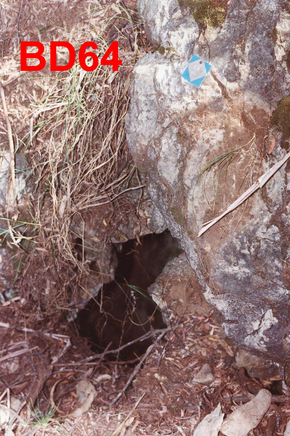
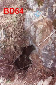
NUMBER : BD 64
CAVE
NAME :
KARST
BLOCK : Opposite to
Flagpole Flat
LOCATION OF
CAVE : west of BD10
CAVE TAG
LOCATION :north side of hole with
a blue background
DATE TAG
PLACED : 18 November 2001
TAG
CONFIRMED :RGK
WHEN
DISCOVERED :
WHO
DISCOVERED :
LENGTH :
DEPTH :
REFERENCES :
NOTABLE
FEATURES :
GEAR REQUIRED :
DESCRIPTION :
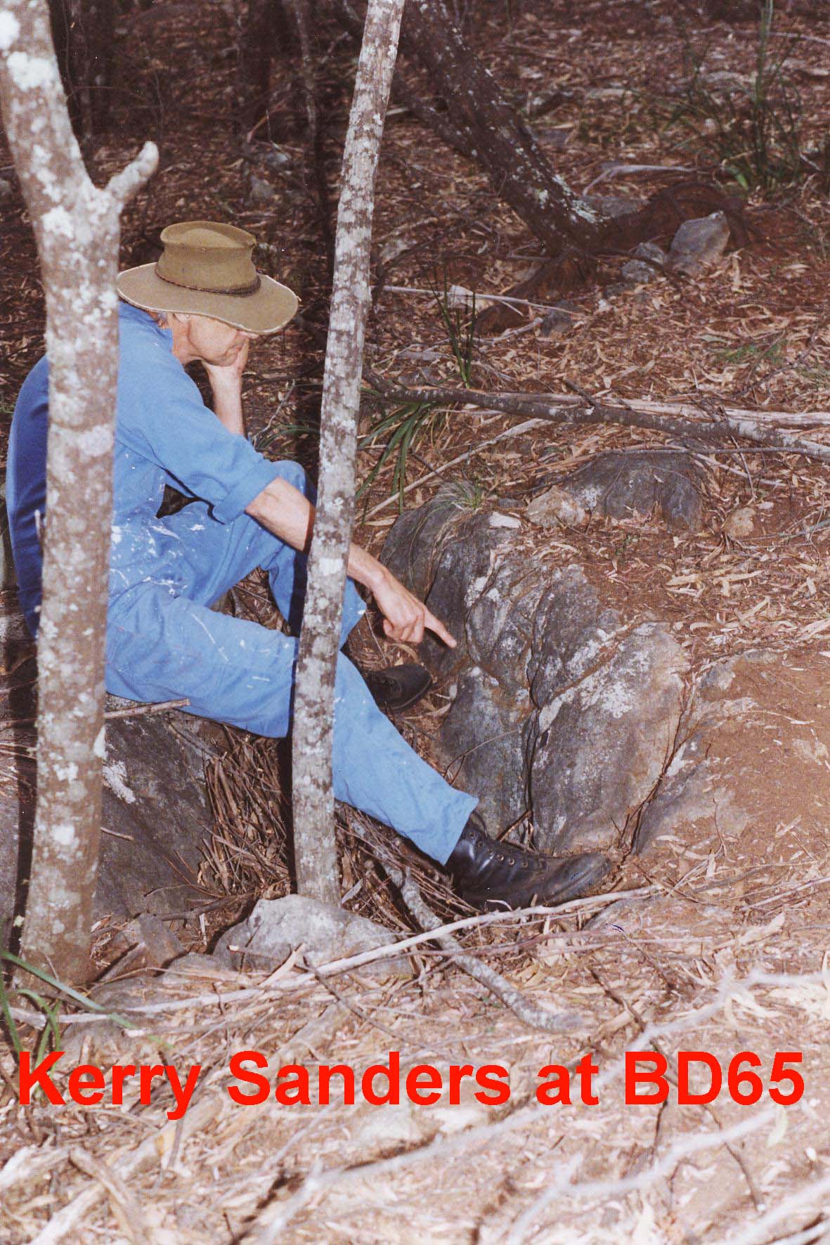
NUMBER : BD 65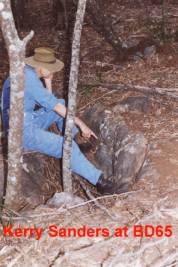
CAVE
NAME :
KARST
BLOCK : Krawarree
LOCATION OF
CAVE : NORTH OF HORSE TRACK near
CairnK
CAVE TAG
LOCATION :
DATE TAG
PLACED : 13TH
October 2001
TAG
CONFIRMED : RGK
WHEN
DISCOVERED :
WHO
DISCOVERED :
LENGTH :
DEPTH : POTHOLE TYPE
REFERENCES :
NOTABLE
FEATURES :
GEAR
REQUIRED :
DESCRIPTION :
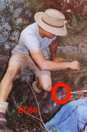
NUMBER : BD 66
CAVE
NAME :
KARST
BLOCK : Krawarree
LOCATION OF
CAVE : KRAWREE SADDLE AREA 15m
NW of TAG T1 on Large Kurrajong tree at saddle
CAVE TAG
LOCATION :
DATE TAG
PLACED : 13th October 2001
TAG
CONFIRMED : RGK
WHEN
DISCOVERED :
WHO
DISCOVERED :
LENGTH :
DEPTH :
REFERENCES :ISS Newsletter Vol4 #2 July
1998 p9
NOTABLE
FEATURES :small solution pipe
GEAR
REQUIRED :
DESCRIPTION :
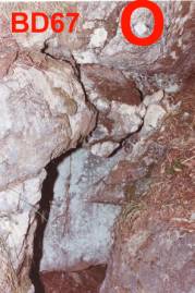
 NUMBER : BD 67
CAVE
NAME :
KARST
BLOCK : Opposite to
Flagpole Flat
LOCATION OF
CAVE : west of BD10
CAVE TAG
LOCATION :west side of hole with
DATE TAG
PLACED : 18 November 2001
TAG
CONFIRMED :RGK
WHEN
DISCOVERED :
WHO
DISCOVERED :
LENGTH :
DEPTH :
REFERENCES :
NOTABLE
FEATURES :
GEAR REQUIRED :
DESCRIPTION :
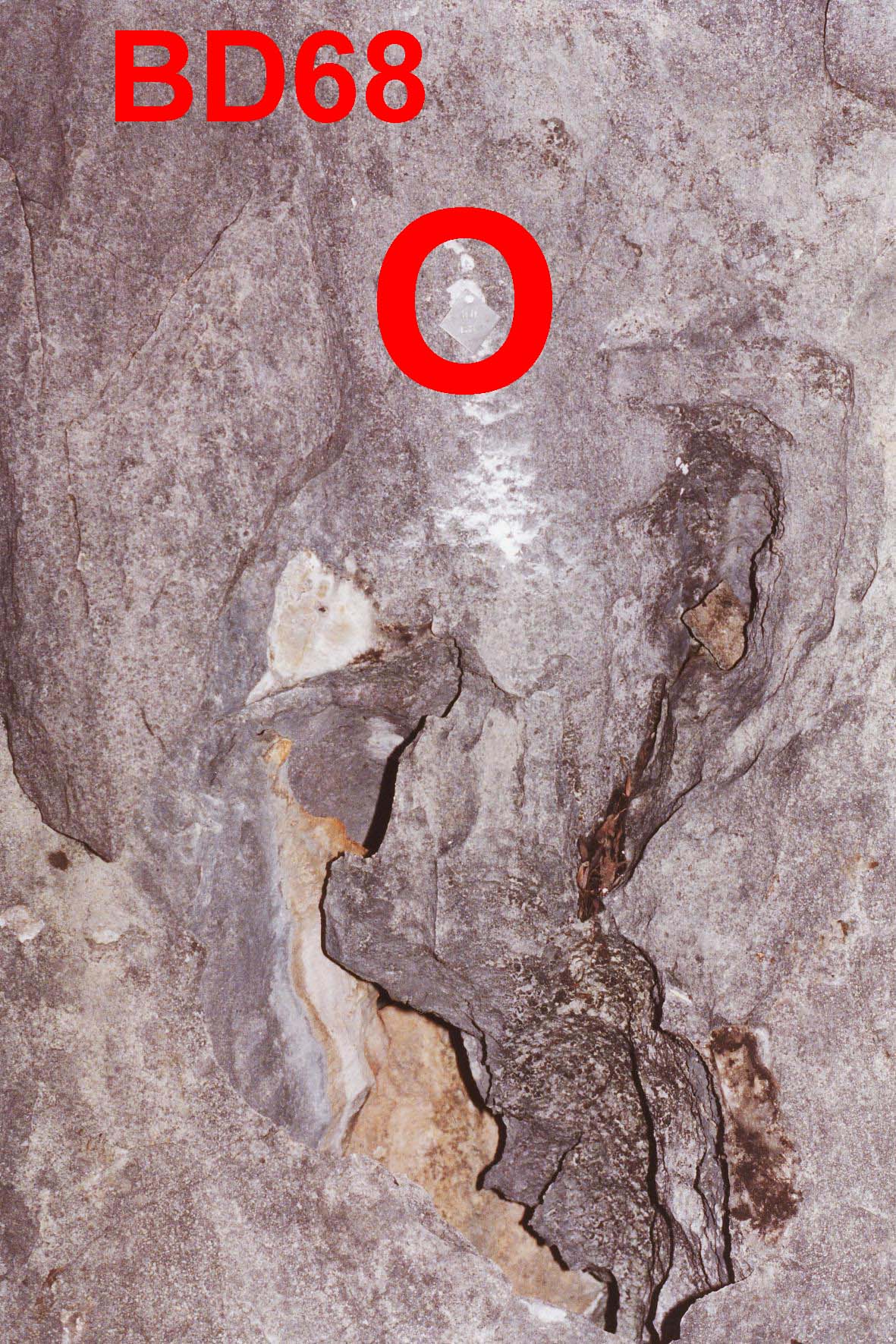
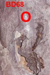
NUMBER : BD 68 BD68 Map
CAVE
NAME :
KARST BLOCK : Main
LOCATION OF
CAVE : SE of BD1
CAVE TAG
LOCATION : above hole
DATE TAG
PLACED :
TAG
CONFIRMED :RGK
WHEN
DISCOVERED :
WHO
DISCOVERED :
LENGTH :
DEPTH :
REFERENCES :
NOTABLE
FEATURES :
GEAR REQUIRED :
DESCRIPTION
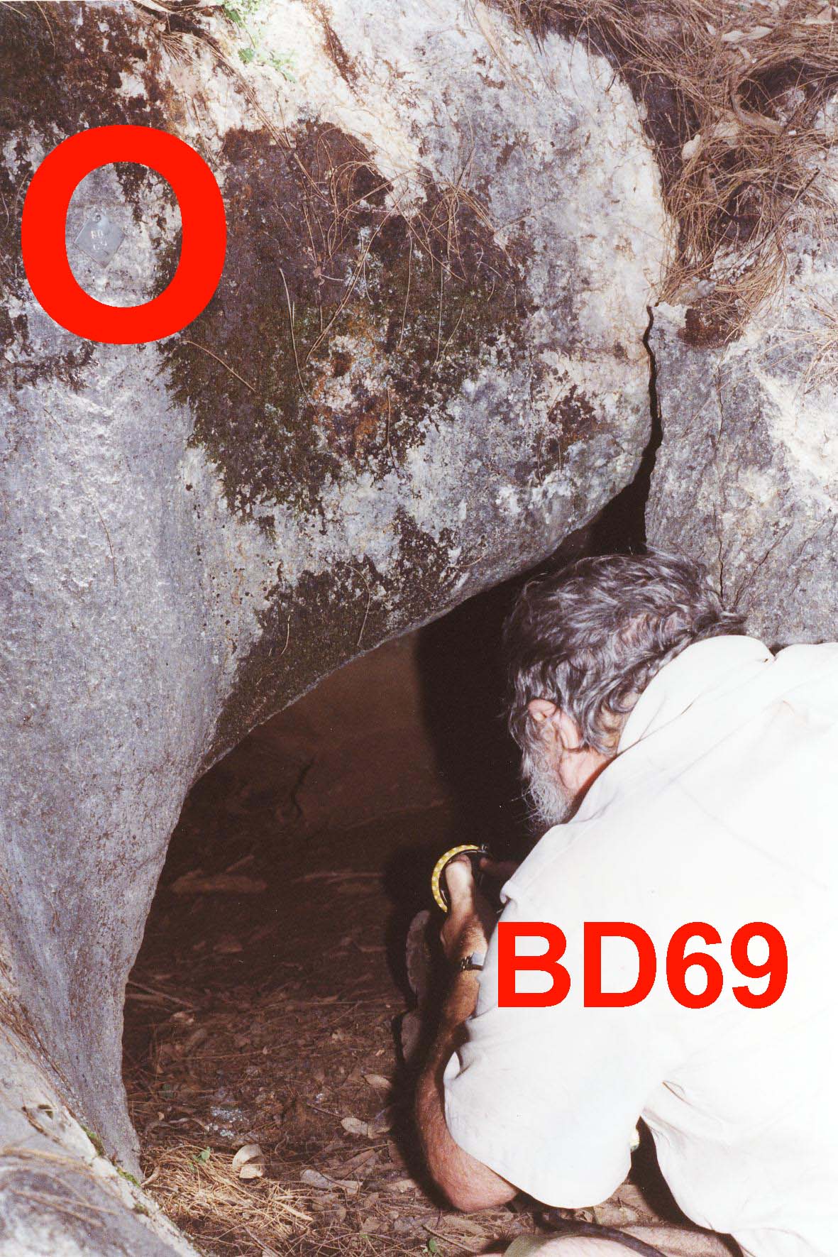
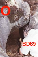
NUMBER : BD69 BD69 Map
CAVE
NAME :
KARST
BLOCK :
LOCATION OF
CAVE :
CAVE TAG
LOCATION :
DATE TAG
PLACED :
TAG
CONFIRMED :
WHEN
DISCOVERED :
WHO
DISCOVERED :
LENGTH :
DEPTH :
REFERENCES :
NOTABLE
FEATURES :
GEAR REQUIRED :
DESCRIPTION
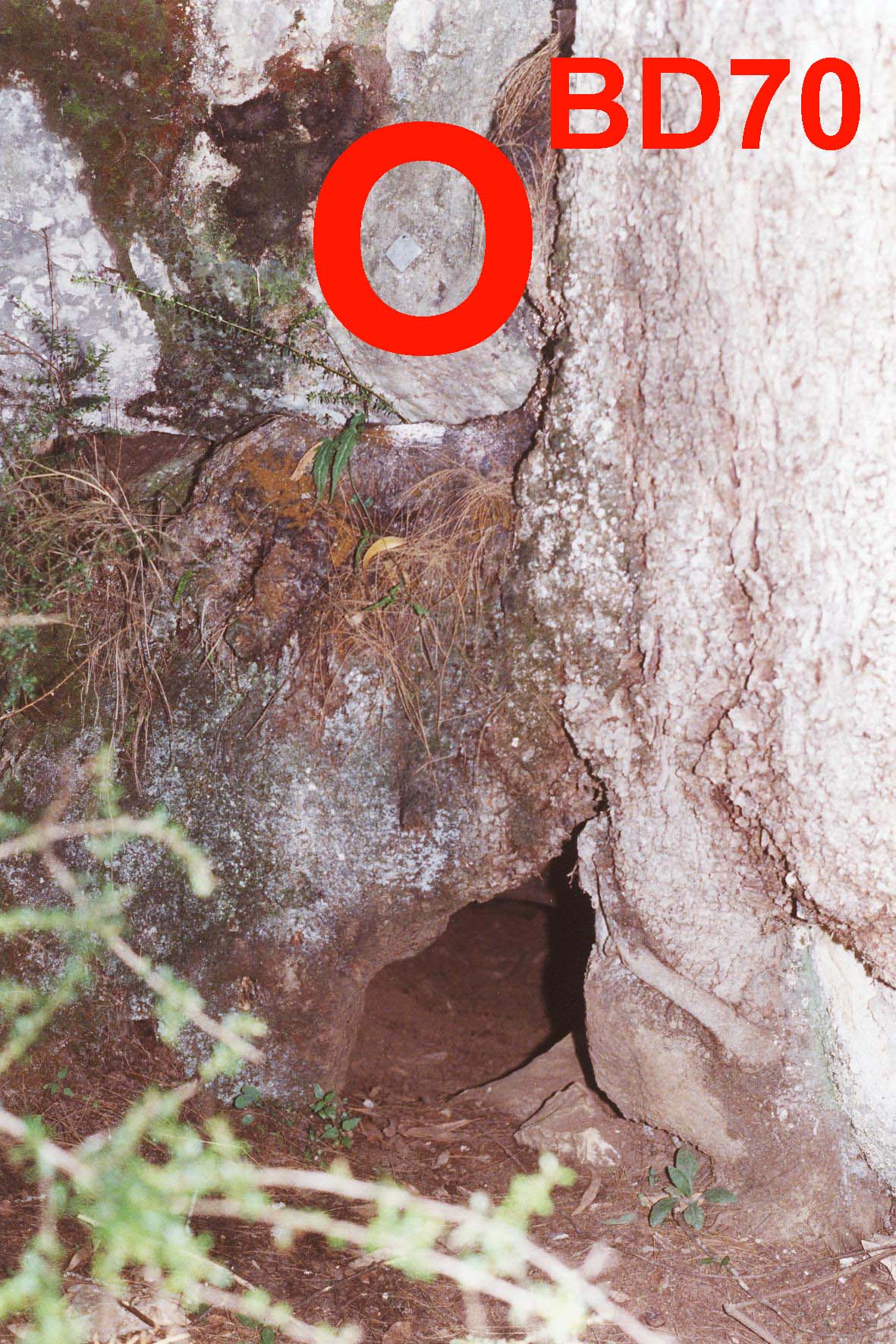
NUMBER : BD70  BD70 Map
CAVE
NAME :
KARST
BLOCK :
LOCATION OF
CAVE :
CAVE TAG
LOCATION :
DATE TAG
PLACED :
TAG
CONFIRMED :
WHEN
DISCOVERED :
WHO
DISCOVERED :
LENGTH :
DEPTH :
REFERENCES :
NOTABLE
FEATURES :
GEAR REQUIRED :
DESCRIPTION
NUMBER : BDX‑ 1
CAVE
NAME :
KARST
BLOCK : Krawarree
LOCATION OF
CAVE : Krawarree Saddle
CAVE TAG
LOCATION :
DATE TAG
PLACED : Oct 8, 1994
TAG
CONFIRMED :
WHEN
DISCOVERED :
WHO
DISCOVERED :
LENGTH :
DEPTH :
REFERENCES :
NOTABLE
FEATURES :
DESCRIPTION :
NUMBER : BDX‑ 3
CAVE
NAME :
KARST
BLOCK : Krawarree
LOCATION OF
CAVE : BD15‑22
CAVE TAG
LOCATION :
DATE TAG
PLACED : Oct 8, 1994
TAG
CONFIRMED :
WHEN
DISCOVERED :
WHO
DISCOVERED :
LENGTH :
DEPTH :
REFERENCES :
NOTABLE
FEATURES :
DESCRIPTION :
NUMBER : BDX‑ 4 BDX
4-5 MAp
CAVE
NAME :
KARST
BLOCK : Main
LOCATION OF
CAVE : ON SPUR LEADING TO BD‑3
CAVE TAG
LOCATION : SOUTH SIDE
DATE TAG
PLACED : Apr 23, 1995
TAG
CONFIRMED :
WHEN DISCOVERED :
WHO
DISCOVERED :
LENGTH : 9 FEET
DEPTH : 10 FEET
REFERENCES :
NOTABLE
FEATURES :
GEAR
REQUIRED :
DESCRIPTION :
NUMBER : BDX‑ 5
CAVE
NAME :
KARST
BLOCK : Main
LOCATION OF
CAVE : ON SPUR TO BD‑3
CAVE TAG
LOCATION : SOUTH SIDE
DATE TAG
PLACED : Apr 23, 1995
TAG
CONFIRMED :
WHEN
DISCOVERED :
WHO
DISCOVERED :
LENGTH :
DEPTH :
REFERENCES :
NOTABLE
FEATURES :
GEAR
REQUIRED :
DESCRIPTION :
NUMBER : BDX‑ 6
CAVE
NAME :
KARST
BLOCK : Main
LOCATION OF
CAVE : ENROUTE TO BD‑370m
from BD13
CAVE TAG
LOCATION :
DATE TAG
PLACED : Apr 23, 1995
TAG
CONFIRMED :
WHEN
DISCOVERED :
WHO
DISCOVERED :
LENGTH :
DEPTH :
REFERENCES : ISS Newsletter Vol3 #1
December 1995 p 34
NOTABLE
FEATURES : ROOFED RIFT TYPE
PASSAGE
GEAR
REQUIRED :
DESCRIPTION :
NUMBER : BDX‑ 7
CAVE
NAME :
KARST
BLOCK : Main
LOCATION OF
CAVE : 5M NE BD‑12
CAVE TAG
LOCATION :
DATE TAG
PLACED : Apr 26, 1996
TAG
CONFIRMED :
WHEN
DISCOVERED :
WHO
DISCOVERED :
LENGTH :
DEPTH : 3M PIT
REFERENCES :
NOTABLE
FEATURES :
MAP
REFERENCE 6 FIGURE :
GEAR
REQUIRED :
DESCRIPTION :
NUMBER : BDX‑ 8
CAVE
NAME :
KARST
BLOCK : Main
LOCATION OF
CAVE : NEXT TO BD‑12
CAVE TAG
LOCATION :
DATE TAG
PLACED : Apr 26, 1996
TAG
CONFIRMED :
WHEN
DISCOVERED : 26.4.96
WHO
DISCOVERED :
LENGTH :
DEPTH : 11M
REFERENCES : ISS Newsletter Vol3 #3 June 1996
P12
NOTABLE
FEATURES :
GEAR
REQUIRED :
DESCRIPTION :
11m hole
that dosen’t go anywhere
NUMBER : BDX‑ 9
CAVE
NAME :
KARST
BLOCK : Main
LOCATION OF
CAVE : 40M SE BD12 ON BENCH
CAVE TAG
LOCATION :
DATE TAG
PLACED : Apr 26, 1996
TAG
CONFIRMED :
WHEN
DISCOVERED :
WHO
DISCOVERED :
LENGTH :
DEPTH : PIT 3M
REFERENCES :
NOTABLE
FEATURES : PIT
GEAR
REQUIRED :
DESCRIPTION :
NUMBER : BDX‑10
CAVE
NAME :
KARST
BLOCK : Main
LOCATION OF
CAVE : DOLINE NEAR BD12
CAVE TAG
LOCATION :
DATE TAG
PLACED : Apr 26, 1996
TAG
CONFIRMED :
WHEN
DISCOVERED :
WHO
DISCOVERED :
LENGTH :
DEPTH :
REFERENCES :
NOTABLE
FEATURES :
GEAR
REQUIRED :
DESCRIPTION :
NUMBER : BDX‑11
CAVE
NAME : The Terraces
KARST
BLOCK : Opposite Flagpole
Flat
LOCATION OF
CAVE :
CAVE TAG
LOCATION : 43m south east of BD‑10
DATE TAG
PLACED : Apr 28, 1996
TAG
CONFIRMED :
WHEN
DISCOVERED : 1996
WHO
DISCOVERED : ISS
LENGTH :
DEPTH :
REFERENCES :
NOTABLE
FEATURES :
GEAR REQUIRED :
DESCRIPTION :
NUMBER : BDX‑12
CAVE
NAME :
KARST
BLOCK : opposite Flagpole
Flat
LOCATION OF
CAVE : NEAR BD10
CAVE TAG
LOCATION :
DATE TAG
PLACED : Aug 9, 1997
TAG
CONFIRMED :
WHEN
DISCOVERED :
WHO
DISCOVERED :
LENGTH :
DEPTH :
REFERENCES :
NOTABLE
FEATURES : SMALL ENTRANCE 30M
RIFT SYSTEM
GEAR REQUIRED :
DESCRIPTION :
Return to top of page


